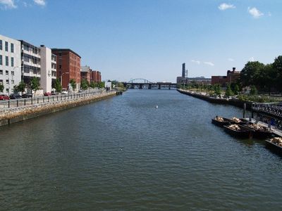
Providence River, Tidal river in Providence, Rhode Island, US.
The Providence River is a tidal waterway in Rhode Island formed where the Woonasquatucket and Moshassuck rivers meet in downtown Providence. The flow extends through several communities before reaching Narragansett Bay.
Dutch explorer Adriaen Block explored Narragansett Bay in 1614 and named the waterway Nassau River as a northeastern boundary of their territorial claims. The river continued to serve as a natural dividing line in the region for generations.
The river is home to Venetian-style gondolas and a sandolo that operate during summer months, transporting visitors through the city's waterfront. These European-inspired boats create a distinctive character that sets this waterway apart from typical New England rivers.
The Fox Point Hurricane Barrier south of downtown protects the waterway from tidal flooding and storm surge. Visiting during low tide reveals more of the shoreline and makes walking along the water easier.
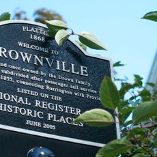
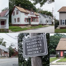
The waterway connects six municipalities including Pawtucket, East Providence, Central Falls, Cranston, Warwick, and Woonsocket through its channel system. This geographic linking made it a vital artery for the region's industrial growth during the past centuries.
The community of curious travelers
AroundUs brings together thousands of curated places, local tips, and hidden gems, enriched daily by 60,000 contributors worldwide.