Chest opened
+${chestReward.xp} XP
Explorer
NOUVEAU ×${chestReward.collectible.quantity}
tapez pour fermer

See the monuments around you in AR Open chests in the app

Around Us is built for your phone — point your camera at the streets and discover the monuments and places around you in augmented reality. Around Us is built for your phone — chests unlock when you walk, explore and capture nearby places.

Enable Location

We need your location to show you interesting places around you

Discover nearby places

Find interesting locations and hidden gems around you

Precise directions

Get accurate directions and distances to places

Your location is never shared with other users. It's only used when you tap the location button.

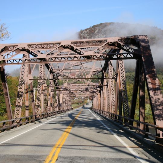
Thurman Station Bridge

Log in to your account

Start exploring — it's free

Trusted by 86,814 travelers worldwide

Continue with Google
Continue with Apple
or

We will send you a code to connect

By continuing, you accept our Terms and Conditions and our Privacy Policy

Check your inbox

We've sent a pincode in your inbox. Please enter the code below.

Thurman Station Bridge
Discussion Reviews 1 Photos
1.2k Popularity

Thurman Station Bridge, Road bridge in Thurman, United States

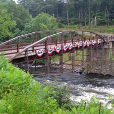
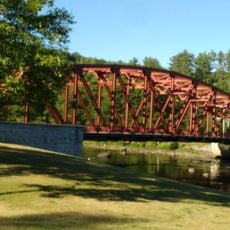
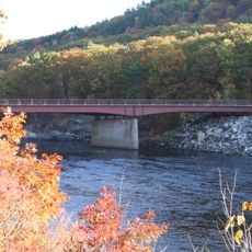
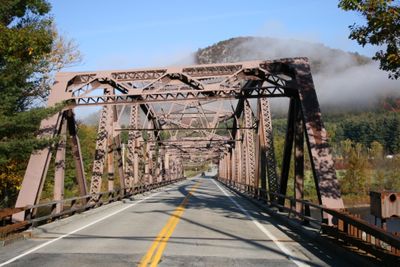
Thurman Station Bridge is a road bridge crossing the Hudson River between the towns of Thurman and Warrensburg in upstate New York. It features two traffic lanes and forms a direct link across the river between these communities.

The bridge was built in 1941 as part of New York's transportation infrastructure expansion. It created a permanent crossing for growing traffic needs between the two communities.

The bridge represents the mid-twentieth century engineering practices with its steel truss construction, reflecting the architectural methods common during the 1940s.

The bridge is maintained by the New York State Department of Transportation and is open year-round for vehicle traffic. It sits in a river valley with moderate grade changes and is easily accessible from regional roads.

The bridge employs a steel truss design typical of mid-twentieth century infrastructure construction. This structural method was common for road projects of that era and reflects the engineering approaches of the 1940s.

The community of curious travelers

AroundUs brings together thousands of curated places, local tips, and hidden gems, enriched daily by 60,000 contributors worldwide.
Start exploring
Location
Inception
1941
Official opening
1941
GPS coordinates
43.47970,-73.81830
Latest update
September 12, 2026 08:51
Around this place
Fort William Henry
United States of America

Fort William Henry

6.8 mi
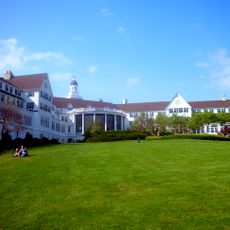
The Sagamore
United States of America

The Sagamore

10.1 mi
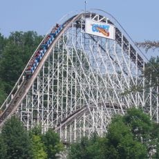
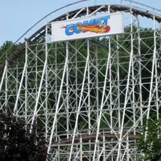
The Comet
United States of America

The Comet

11.1 mi
Alpine Bobsled
United States of America

Alpine Bobsled

11.1 mi
Great Escape
United States of America

Great Escape

11 mi
Glens Falls High School
United States of America

Glens Falls High School

14.2 mi
Six Flags Hurricane Harbor
United States of America

Six Flags Hurricane Harbor

11.1 mi
Great Escape Lodge Indoor Water Park
United States of America

Great Escape Lodge Indoor Water Park

10.8 mi
Hadley Parabolic Bridge
United States of America

Hadley Parabolic Bridge

11.5 mi
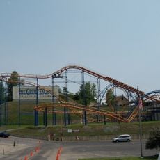
Steamin' Demon
United States of America

Steamin' Demon

10.9 mi
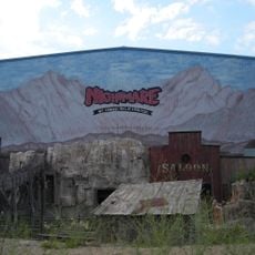
Nightmare at Crack Axle Canyon
United States of America

Nightmare at Crack Axle Canyon

10.8 mi
Canyon Blaster
United States of America

Canyon Blaster

10.9 mi
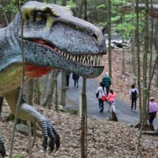
Lake George Expedition Park
United States of America

Lake George Expedition Park

8.2 mi
Mohican II
United States of America

Mohican II

6.8 mi
Riparius Bridge
United States of America

Riparius Bridge

13.2 mi
Owl's Nest
United States of America

Owl's Nest

8.5 mi
Lake George Battlefield Park Historic District
United States of America

Lake George Battlefield Park Historic District

6.6 mi
The Glen Bridge
United States of America

The Glen Bridge

7.4 mi
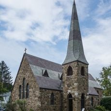
St. James Episcopal Church
United States of America

St. James Episcopal Church

6.4 mi
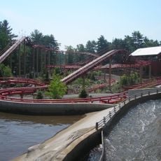
Frankie’s Mine Train
United States of America

Frankie’s Mine Train

11 mi
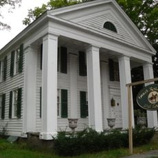
Merrill MaGee House
United States of America

Merrill MaGee House

2.4 mi
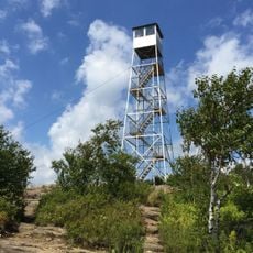
Hadley Mountain Fire Observation Station
United States of America

Hadley Mountain Fire Observation Station

10.5 mi
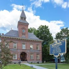
Old Warren County Courthouse Complex
United States of America

Old Warren County Courthouse Complex

6.5 mi
Chestertown Historic District
United States of America

Chestertown Historic District

11.9 mi
Methodist Episcopal Church
United States of America

Methodist Episcopal Church

6.7 mi
Warrensburg Mills Historic District
United States of America

Warrensburg Mills Historic District

2.3 mi
Hamlet of Warrensburgh Historic District
United States of America

Hamlet of Warrensburgh Historic District

1.9 mi
Martin L. C. Wilmarth House
United States of America

Martin L. C. Wilmarth House

13.8 mi
Show the full map
Reviews
Share your experience

No review yet

Discussions
Start a discussion...

No discussion yet

« Thurman Station Bridge - Road bridge in Thurman, United States » is provided by Around Us (aroundus.com). Images and texts are derived from Wikimedia project under a Creative Commons license. You are allowed to copy, distribute, and modify copies of this page, under the conditions set by the license, as long as this note is clearly visible.

Discover hidden gems everywhere you go!

From secret cafés to breathtaking viewpoints, skip the crowded tourist spots and find places that match your style. Our app makes it easy with voice search, smart filtering, route optimization, and insider tips from travelers worldwide. Download now for the complete mobile experience.
Around Us App Screenshot

A unique approach to discovering new places

Le Figaro

All the places worth exploring

France Info

A tailor-made excursion in just a few clicks

20 Minutes

Around Us
Travel Guide & Maps
Download

Send to your phone

QR Code
1

Open the camera app on your mobile.

2

Point at the QR code with your camera. A notification will appear.

3

Tap the notification to open the link.