
West Branch Township, township in Ogemaw County, Michigan
Location: Ogemaw County
Elevation above the sea: 298 m
GPS coordinates: 44.28806,-84.20306
Latest update: March 26, 2025 09:48
Hartwick Pines State Park
63.1 km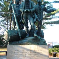
Lumberman's Monument
48.9 km
Tawas Point State Park
60.4 km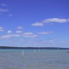
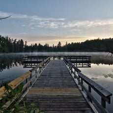
South Higgins Lake State Park
40.1 km
Au Sable State Forest
21.1 km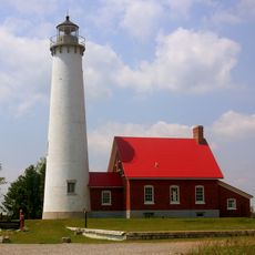
Tawas Point Light
60.2 km
North Higgins Lake State Park
50.8 km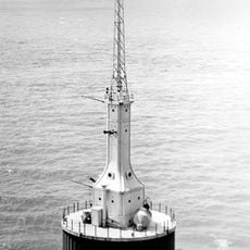
Gravelly Shoal Light
61.1 km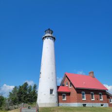
Tawas Point Camper's Beach
60.4 km
Alabaster Historic District
51.9 km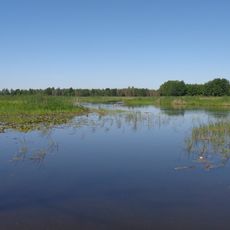
Dead Stream Flooding State Wildlife Management Area
52.1 km
Five Channels Dam
45.8 km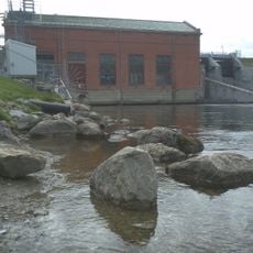
Cooke Dam
54.2 km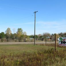
Roscommon Zoo
33.4 kmHoughton Lake Flats Flooding State Wildlife Management Area
49.1 km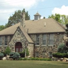
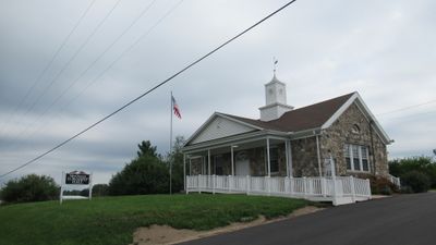
Eggleston School
24.2 km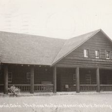
Edward E. Hartwick Memorial Building
61.8 km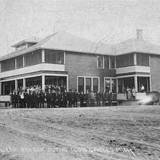
Douglas House
61.4 km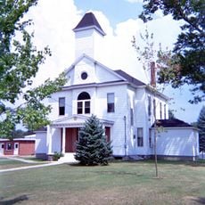
Oscoda County Courthouse
40.6 km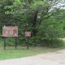
Ogemaw Hills Pathway
7.2 km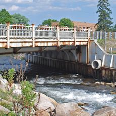
M-72–Au Sable River Bridge
57.9 km
Second Arenac County Courthouse
38.7 km
Ogemaw Lanes & Lounge
2.6 km
4X Adventureland
56.5 km
Hi-Skore Lanes & Bar
4.4 km
Snowbird Lanes
56 km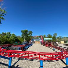
Wild Frontier Fun Park
57.8 km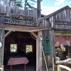
CoopersVille USA
51.3 kmVisited this place? Tap the stars to rate it and share your experience / photos with the community! Try now! You can cancel it anytime.
Discover hidden gems everywhere you go!
From secret cafés to breathtaking viewpoints, skip the crowded tourist spots and find places that match your style. Our app makes it easy with voice search, smart filtering, route optimization, and insider tips from travelers worldwide. Download now for the complete mobile experience.

A unique approach to discovering new places❞
— Le Figaro
All the places worth exploring❞
— France Info
A tailor-made excursion in just a few clicks❞
— 20 Minutes