Ogemaw County, County in northern Michigan, United States
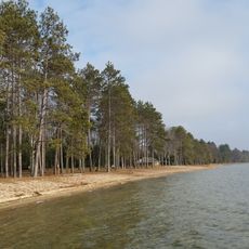
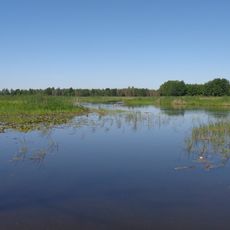
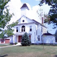
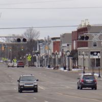
Ogemaw County is an administrative division in northern Michigan covering roughly 575 square miles of land. West Branch serves as the county seat where government offices are located.
The county was established by Michigan's legislature in 1840 and temporarily merged with Iosco County in 1867. It was restored as an independent entity in 1875.
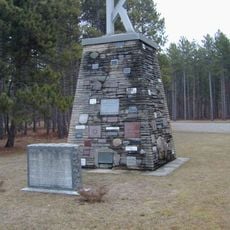
The county's name comes from an Anishinaabemowin word meaning chief, honoring a Native American orator called Little Elk. This naming reflects the indigenous heritage that shaped the region's identity.
The county is served by major routes including Interstate 75 and several state highways that connect to surrounding areas. Visitors can access the region easily through these road networks that link to larger towns nearby.
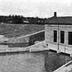
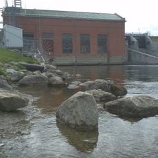
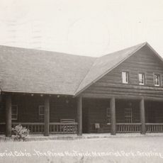
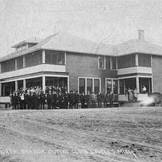
Ogemaw Springs was one of the earliest settlements and played a central role in the region's lumber industry during the 1800s. Economic activity later shifted to West Branch as the area developed new commercial activity.
The community of curious travelers
AroundUs brings together thousands of curated places, local tips, and hidden gems, enriched daily by 60,000 contributors worldwide.