
Wickaboxet Management Area, Protected Area
Yawgoog Scout Reservation
14 km
Pachaug State Forest
13.2 km
Moosup Valley State Park Trail
15.6 km
Paine House
14.8 km
Ell Pond
15.8 km
Quinebaug Trail
12 km
Rice City Historic District
8.2 km
Sterling Hill Historic District
11.2 km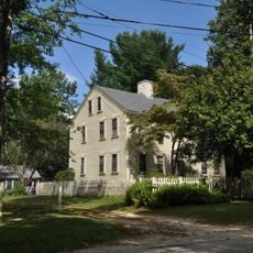
Isaac Bowen House
8.7 km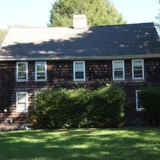
Avery House
15.8 km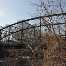
Glen Falls Bridge
13.8 km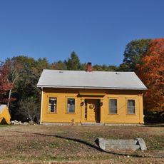
Clayville Historic District
15.7 km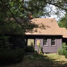
Stephen Allen House
3.2 km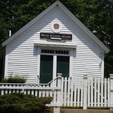
Read School
13.1 km
Austin Farm Road Agricultural Area
7.5 km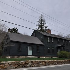
Mount Vernon Tavern
10 km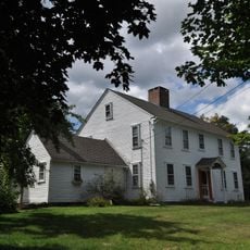
William Waterman House
7.5 km
Moosup Valley Historic District
11.2 km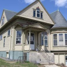
Aldrich Free Public Library
14.8 km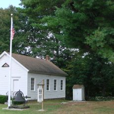
Wylie School
10.1 km
South Main Street Historic District
14.5 km
Edward Cogswell House
15.6 km
Hillsdale Historic and Archeological District
15.3 km
Capt. George Dorrance House
11.9 km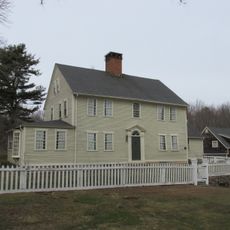
Wilson-Winslow House
6.5 km
Tomaquag Indian Museum
9.8 km
Joseph Briggs House
12.1 km
Hope Valley Historic District
14.9 kmReviews
Visited this place? Tap the stars to rate it and share your experience / photos with the community! Try now! You can cancel it anytime.
Discover hidden gems everywhere you go!
From secret cafés to breathtaking viewpoints, skip the crowded tourist spots and find places that match your style. Our app makes it easy with voice search, smart filtering, route optimization, and insider tips from travelers worldwide. Download now for the complete mobile experience.

A unique approach to discovering new places❞
— Le Figaro
All the places worth exploring❞
— France Info
A tailor-made excursion in just a few clicks❞
— 20 Minutes