
Devils Slide, cliff in Union County, Oregon, United States of America
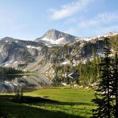
Eagle Cap Wilderness
54.2 km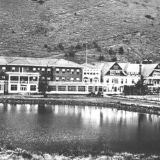
Hot Lake Hotel
16.7 km
Emigrant Springs State Heritage Area
35 km
North Fork Umatilla Wilderness
41.9 km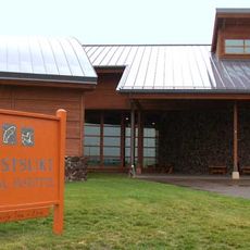
Tamástslikt Cultural Institute
54.9 km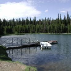
Jubilee Lake
56 km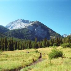
Rock Creek Butte
58.3 km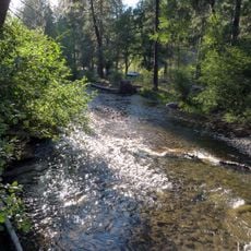
Catherine Creek State Park
36.6 km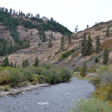
Wallowa Lake Highway Forest State Scenic Corridor
46.2 km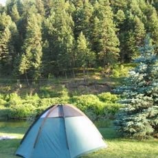
Hilgard Junction State Recreation Area
9.4 km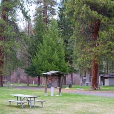
Red Bridge State Wayside
17.6 km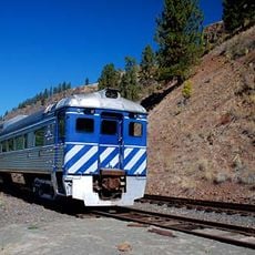
Eagle Cap Excursion Train
29.7 km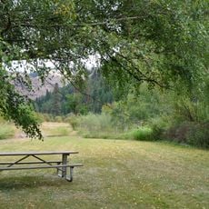
Wallowa River Rest Area
48.3 km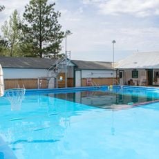
Cove Hot Springs Pool
24.6 km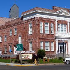
Elgin Opera House
29.6 km
Thief Valley Reservoir
43.1 km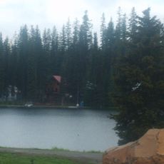
Langdon Lake
48.8 km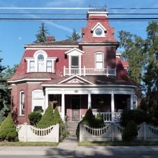
Abel E. Eaton House
24.6 km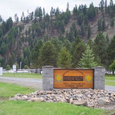
RiverBend Alternative Education School
9.5 km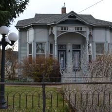
John Anthony House
2.6 km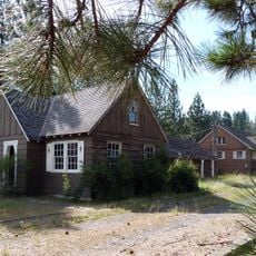
Wallowa Ranger Station
52.3 km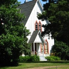
Ascension Episcopal Church
24.6 km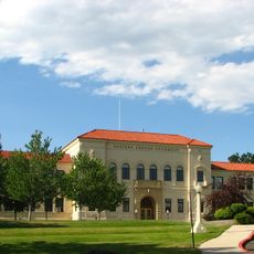
Inlow Hall
3.2 km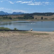
Wolf Creek Reservoir
32.5 km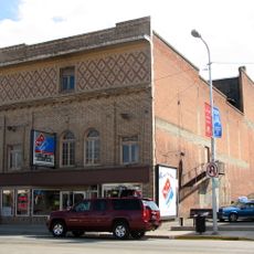
Liberty Theater
2.3 km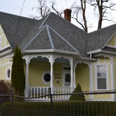
Anthony–Buckley House
2.6 km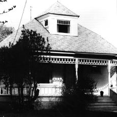
Hunter–Morelock House
53 km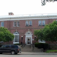
U.S. Post Office and Federal Building
2.2 kmReviews
Visited this place? Tap the stars to rate it and share your experience / photos with the community! Try now! You can cancel it anytime.
Discover hidden gems everywhere you go!
From secret cafés to breathtaking viewpoints, skip the crowded tourist spots and find places that match your style. Our app makes it easy with voice search, smart filtering, route optimization, and insider tips from travelers worldwide. Download now for the complete mobile experience.

A unique approach to discovering new places❞
— Le Figaro
All the places worth exploring❞
— France Info
A tailor-made excursion in just a few clicks❞
— 20 Minutes