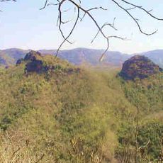
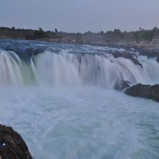
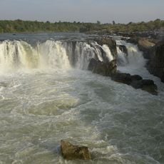
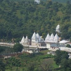
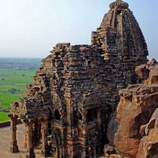
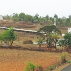
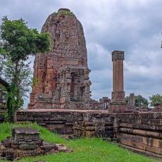
Narsinghpur district, district of Madhya Pradesh, India
Location: Jabalpur division
Capital city: Narsinghpur
Shares border with: Raisen district
Website: http://narsinghpur.nic.in
GPS coordinates: 22.91667,79.16667
Latest update: April 21, 2025 17:15
Pench National Park
139.3 km
Satpura National Park
106.9 km
Pench Tiger Reserve
139.3 km
Dhuandhar Falls
70.2 km
Marble Rocks
68.8 km
Kundalpur
131.7 km
Dhupgarh
96.6 km
Chausath Yogini Temple, Bhedaghat
69.2 km
Mahadeo Hills
87.9 km
Tigawa Temple
126 km
Lameta Formation
91 km
Deogarh Fort
123.5 km
Dumna Nature Reserve Park
119.8 km
Hanumantal Bada Jain Mandir
83.3 km
Pateria Ji
95 km
Jain temples, Vidisha
135.7 km
Nainagiri
136.2 km
Maladevi temple
135.7 km
Andher Stupas
140.2 km
Gadarmal Devi temple
147.4 km
St. John in the Wilderness (Nainital)
60.4 km
Bajramath Temple, Gyaraspur
136.1 km
Katni copper-plate of Jayanātha
116 km
Mahadeva temple, Nohta
94.1 km
Maladevi Temple
135.7 km
Pandav Caves
91 km
Athakamba Temple
136.4 km
Hindola torana and Chaukhamba
136.1 kmReviews
Visited this place? Tap the stars to rate it and share your experience / photos with the community! Try now! You can cancel it anytime.
Discover hidden gems everywhere you go!
From secret cafés to breathtaking viewpoints, skip the crowded tourist spots and find places that match your style. Our app makes it easy with voice search, smart filtering, route optimization, and insider tips from travelers worldwide. Download now for the complete mobile experience.
A unique approach to discovering new places❞
— Le Figaro
All the places worth exploring❞
— France Info
A tailor-made excursion in just a few clicks❞
— 20 Minutes