Chest opened
+${chestReward.xp} XP
Explorer
NOUVEAU ×${chestReward.collectible.quantity}
tapez pour fermer
Chest locked

Open chests in the app

Around Us is built for your phone — chests unlock when you walk, explore and capture nearby places.

Enable Location

We need your location to show you interesting places around you

Discover nearby places

Find interesting locations and hidden gems around you

Precise directions

Get accurate directions and distances to places

Your location is never shared with other users. It's only used when you tap the location button.

Log in to your account

Start exploring — it's free

Trusted by 73,006 travelers worldwide

Continue with Google
Continue with Apple
or

We will send you a code to connect

By continuing, you accept our Terms and Conditions and our Privacy Policy

Check your inbox

We've sent a pincode in your inbox. Please enter the code below.

相模野基線
Discussion Reviews Photo
3.6k Popularity

相模野基線, Survey baseline in Kanagawa Prefecture, Japan.

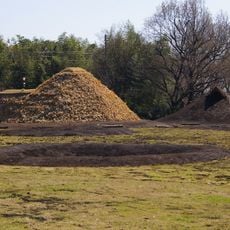
The Sagamino Baseline is a surveying line that runs approximately 5.2 kilometers between two triangulation points in the northeastern region of Kanagawa Prefecture. It connects three measurement stations: the northern point at Shimogoumura, the southern point at Zamamura, and a midpoint triangulation station.

This baseline was established in 1882 by the Army General Staff Survey Division as the foundation for Japan's first national triangulation network. It marked the beginning of a series of fourteen survey lines constructed between 1882 and 1911 to support the country's national mapping project.

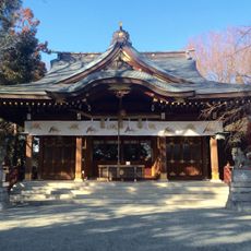
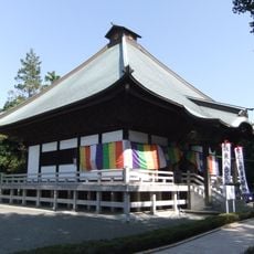
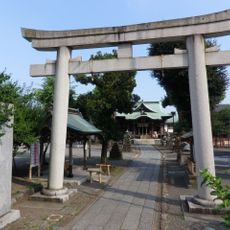
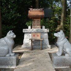
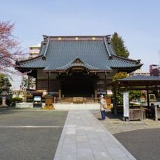
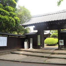
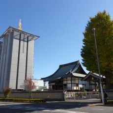
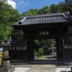
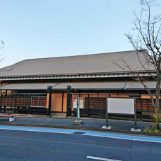
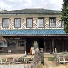
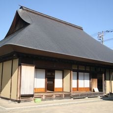
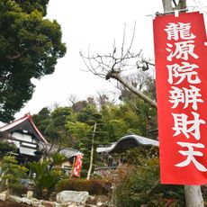
The southern marker in Zama City and the northern marker in Sagamihara City both hold the status of Important Cultural Properties in their respective municipalities. They reflect how these survey points were valued as part of the nation's modernization efforts.

The marker points are located within the cities of Sagamihara and Zama and are accessible for visitors to see. It helps to plan ahead and learn directions to each point, as they are spread across a wide area.

This baseline holds the distinction of being the oldest of the fourteen survey lines built during that era and remains a testament to Japan's early modern surveying technology. The precise markers still visible today show the careful craftsmanship and accuracy that went into surveying work in the 1880s.

The community of curious travelers

AroundUs brings together thousands of curated places, local tips, and hidden gems, enriched daily by 60,000 contributors worldwide.

Start exploring
GPS coordinates
35.51077,139.42032
Latest update
December 12, 2025 07:52
Reviews
Share your experience

No review yet

Discussions
Start a discussion...

No discussion yet

« 相模野基線 - Survey baseline in Kanagawa Prefecture, Japan » is provided by Around Us (aroundus.com). Images and texts are derived from Wikimedia project under a Creative Commons license. You are allowed to copy, distribute, and modify copies of this page, under the conditions set by the license, as long as this note is clearly visible.

Discover hidden gems everywhere you go!

From secret cafés to breathtaking viewpoints, skip the crowded tourist spots and find places that match your style. Our app makes it easy with voice search, smart filtering, route optimization, and insider tips from travelers worldwide. Download now for the complete mobile experience.

Around Us App Screenshot

A unique approach to discovering new places

Le Figaro

All the places worth exploring

France Info

A tailor-made excursion in just a few clicks

20 Minutes

Around Us
Travel Guide & Maps
Download

Send to your phone

QR Code
1

Open the camera app on your mobile.

2

Point at the QR code with your camera. A notification will appear.

3

Tap the notification to open the link.