
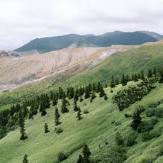
Hachi Yama, بركان في ناغانو، اليابان
Location: Nagano Prefecture
Elevation above the sea: 2,012 m
GPS coordinates: 36.69047,138.51381
Latest update: June 15, 2025 19:50

Mount Kusatsu-Shirane
7.6 km
Shiga Highlands
2.2 km
Yudanaka Station
10.5 km
Mount Motoshirane
7.7 km
Mount Yokote
2.7 km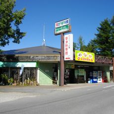
Kusatsu Tropical Wonderland
11.1 km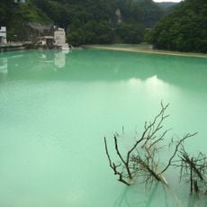
Shinaki Dam
12.8 km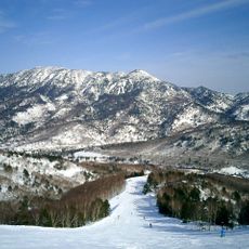
Mount Iwasuge
7 km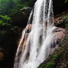
Kaminari Falls
6.5 km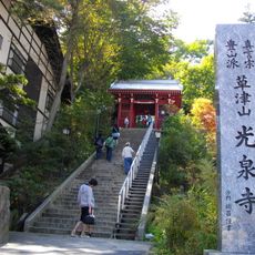
Kōsen-ji
10.5 km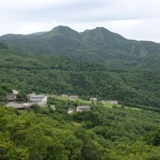
Mount Shiga
1 km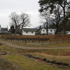
Takanashi clan fortified residence
13.6 km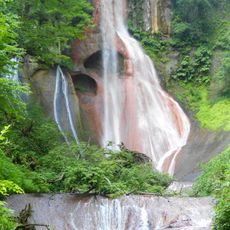
Ōsen Falls
13.1 km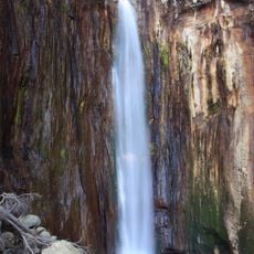
Jōfu Falls
6.7 km
Nakayama Shinpei Memorial Hall
13.2 km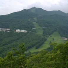
Mount Higashidate
4.8 km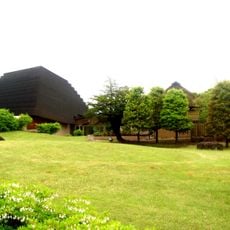
Kobayashi Issa Museum Issakan
13.8 km
Kusatsu Town Onsen Library
10.7 km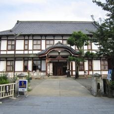
Nakano Jinya Prefectural Capital Memorial Hall
14 km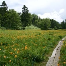
Higashitateyama Alpine Botanical Garden
4.3 km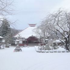
法運寺
13.9 km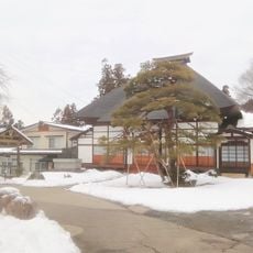
Nyohō-ji
13 km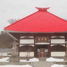
常楽寺
13.5 km
Japan Clay Doll Museum
13.1 km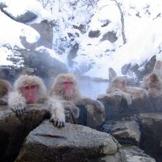
Jigokudani Monkey Park
6.5 km
霊閑寺
13.1 km
高梨館跡公園
13.6 km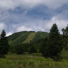
Mount Yakebitai
8.5 kmReviews
Visited this place? Tap the stars to rate it and share your experience / photos with the community! Try now! You can cancel it anytime.
Discover hidden gems everywhere you go!
From secret cafés to breathtaking viewpoints, skip the crowded tourist spots and find places that match your style. Our app makes it easy with voice search, smart filtering, route optimization, and insider tips from travelers worldwide. Download now for the complete mobile experience.

A unique approach to discovering new places❞
— Le Figaro
All the places worth exploring❞
— France Info
A tailor-made excursion in just a few clicks❞
— 20 Minutes