
Tottabetsu Dake, Berggipfel in Japan
Location: Hokkaido
Elevation above the sea: 1,704 m
GPS coordinates: 42.73833,142.69500
Latest update: March 17, 2025 13:17

Nibutani
45.2 km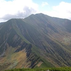
Mount Poroshiri
2.3 km
Rokka Forest
34.8 km
帯広刑務所
39.9 km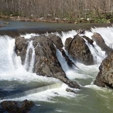
ピョウタンの滝
26.5 km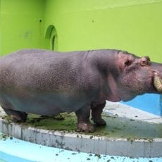
Obihiro Zoo
43.9 km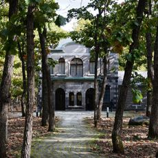
Nakasatsunai Art Village
38.8 km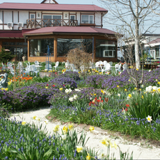
Shichiku Garden
32 km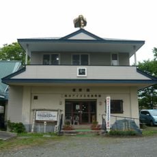
Kayano Shigeru Nibutani Ainu Museum
45.1 km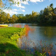
Midorigaoka Park
44.3 km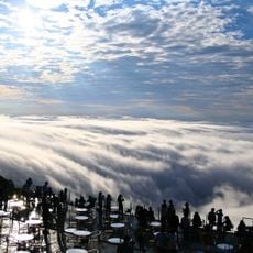
Unkai Terrace
38.5 km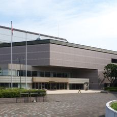
Obihiro Cvic Culture Hall
45.8 km
Hokkaido Obihiro Museum of Art
44.1 km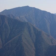
Pirika Nupuri
43.6 km
Obihiro City Children's Hall
44.2 km
Obihiro Centennial City Museum
44.3 km
Obihiro Stadium
40.6 km
Heigen Ohashi Bridge
44.5 km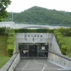
Historical Museum of the Saru River
45.5 km
Hidaka Mountains Museum
25.8 km
Obihiro Suzuran Bowling
44.3 km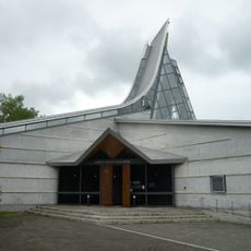
Nibutani Ainu Culture Museum
45.5 km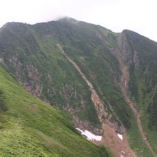
Mount Kamuiekuuchikaushi
13.9 km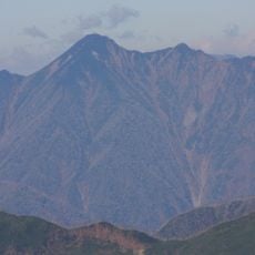
1839 Metre Summit
24 km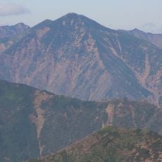
Mount Petegari
30.3 km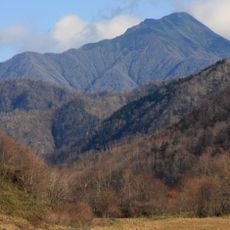
Mount Kamui
38.6 km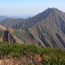
Mount Soematsu
40.3 km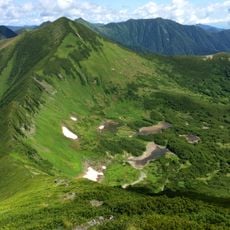
Mount Tottabetsu
36 mReviews
Visited this place? Tap the stars to rate it and share your experience / photos with the community! Try now! You can cancel it anytime.
Discover hidden gems everywhere you go!
From secret cafés to breathtaking viewpoints, skip the crowded tourist spots and find places that match your style. Our app makes it easy with voice search, smart filtering, route optimization, and insider tips from travelers worldwide. Download now for the complete mobile experience.

A unique approach to discovering new places❞
— Le Figaro
All the places worth exploring❞
— France Info
A tailor-made excursion in just a few clicks❞
— 20 Minutes