
Jingatō Taki, Wasserfall in Japan
Location: Fukuoka Prefecture
Elevation above the sea: 275 m
GPS coordinates: 33.64111,130.55222
Latest update: May 7, 2025 21:52

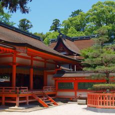
Kashii-gū
9.3 km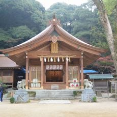
Kamado Shrine
11.4 km
Kashii-Kaen
11.2 km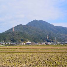
Mount Hōman
11.4 km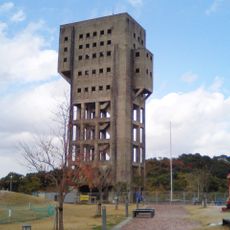
Shime Winding Tower
8.3 km
Tachibana Castle
8.9 km
Najima Castle
12 km
Nanzo-in
3 km
Daibu Hachiman-gū
9.3 km
Ōzuka Kofun
11.9 km
Hakatanomori Athletic Stadium
10.2 km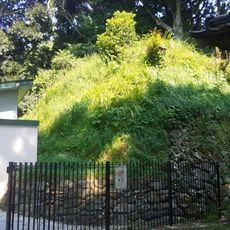
Takehara Kofun
11.6 km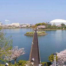
Kayoichō Park
7.2 km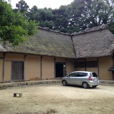
橫大路家住宅
11.3 km
Fukuoka Mosque
11.8 km
Nōso-hachimangū
12.2 km
Najima Bridge
11.6 km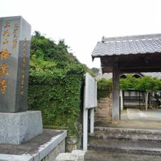
Baigaku-ji
9 km
福岡市雁之巢娛樂中心球技場
10.5 km
江辻遺跡
7.1 km
Fubabaru Kofun
9.4 km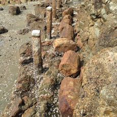
Hobashiraishi Stones in Najima
12.1 km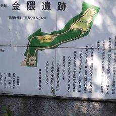
Kanenokuma Site
11.5 km
Tanabata-ike Kofun
8.4 km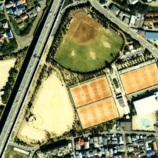
Najima Sports Park
11.7 km
Museum of Kyushu Sangyo University
10.4 km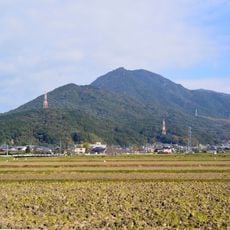
Dazaifu Prefectural Natural Park
11.4 km
Iizuka Daiichi Gymnasium
11.5 kmReviews
Visited this place? Tap the stars to rate it and share your experience / photos with the community! Try now! You can cancel it anytime.
Discover hidden gems everywhere you go!
From secret cafés to breathtaking viewpoints, skip the crowded tourist spots and find places that match your style. Our app makes it easy with voice search, smart filtering, route optimization, and insider tips from travelers worldwide. Download now for the complete mobile experience.

A unique approach to discovering new places❞
— Le Figaro
All the places worth exploring❞
— France Info
A tailor-made excursion in just a few clicks❞
— 20 Minutes