
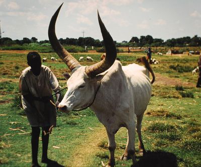
Western Bahr el Ghazal, state of South Sudan
Location: South Sudan
Capital city: Wau
Shares border with: Northern Bahr el Ghazal, Warrap, Western Equatoria
GPS coordinates: 7.88333,25.86667
Latest update: March 27, 2025 16:54
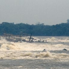
Boyoma Falls
826 km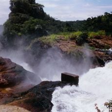
Murchison Falls
897.4 km
Marrah Mountains
668.5 km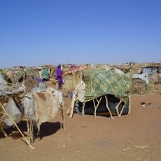
South Darfur State
359.8 km
Garamba National Park
572 km
Okapi Wildlife Reserve
717 km
Zakouma National Park
758.5 km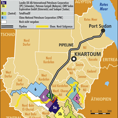
Block 5A, South Sudan
480.4 km
Boma National Park
902.2 km
Fachoda
706.4 km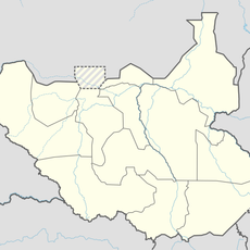
Bandingilo National Park
759.5 km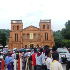
Cathédrale Notre-Dame (Bangui)
896.4 km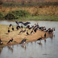
Manovo-Gounda St. Floris National Park
486 km
Southern National Park
305.4 km
Jebel Moya
1028.3 km
Shambe National Park
529.9 km
Nimule National Park
818.5 km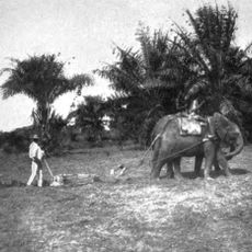
Api Elephant Domestication Center
468 km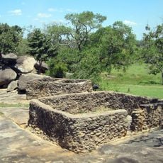
Baker's Fort
896.9 km
Juba Nile Bridge
720.8 km
Toro-Semliki Wildlife Reserve
912.5 km
St. Theresa Cathedral, Juba
719.7 km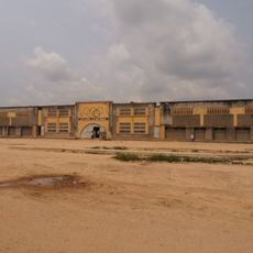
Stade Lumumba
823 km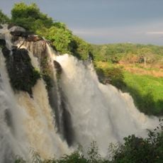
Chutes de Boali
927.5 km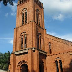
St. Peter Claver Cathedral, Bangassou
486.1 km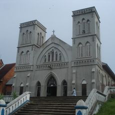
Our Lady of the Rosary Cathedral, Kisangani
824.3 km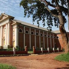
St. Joseph's Cathedral, Gulu
909.4 km
Tagabo Hills
744 kmReviews
Visited this place? Tap the stars to rate it and share your experience / photos with the community! Try now! You can cancel it anytime.
Discover hidden gems everywhere you go!
From secret cafés to breathtaking viewpoints, skip the crowded tourist spots and find places that match your style. Our app makes it easy with voice search, smart filtering, route optimization, and insider tips from travelers worldwide. Download now for the complete mobile experience.

A unique approach to discovering new places❞
— Le Figaro
All the places worth exploring❞
— France Info
A tailor-made excursion in just a few clicks❞
— 20 Minutes