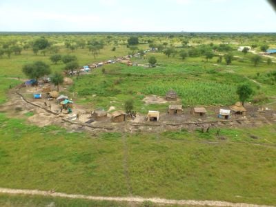
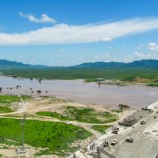
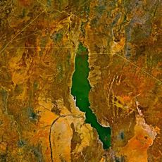
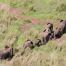
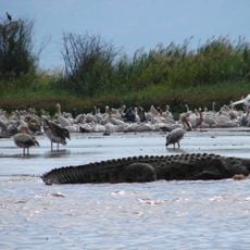
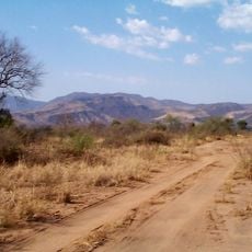
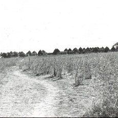
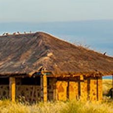
Jonglei, state of South Sudan
The community of curious travelers
AroundUs brings together thousands of curated places, local tips, and hidden gems, enriched daily by 60,000 contributors worldwide.
Location
Capital city
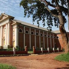
Bor
Shares border with
Gambela Region, Southern Nations, Nationalities, and Peoples' Region, Boma State, Bieh State, Fangak State, Southern Liech State, Eastern Lakes State, Terekeka State, Imatong State
GPS coordinates
7.40000,32.06667
Latest update
March 3, 2025 01:55