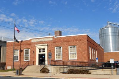
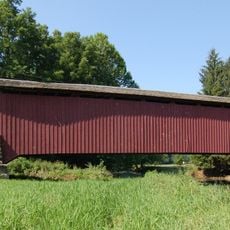
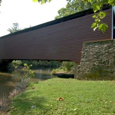
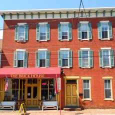
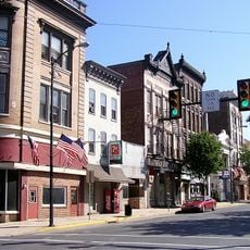
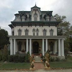
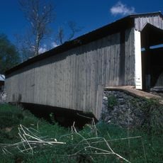
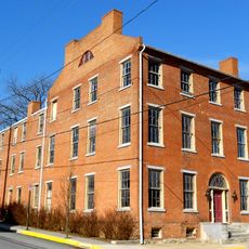
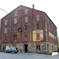
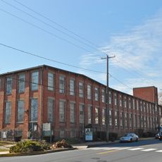
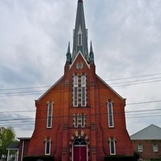
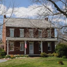
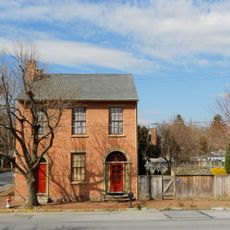
Mount Joy, borough in northwestern Lancaster County, Pennsylvania, United States
Location: Lancaster County
Inception: 1812
Website: http://mountjoyborough.com
GPS coordinates: 40.11000,-76.51110
Latest update: March 23, 2025 03:15
Columbia–Wrightsville Bridge
9 kmChickies Ridge
6.7 km
Cameron Estate
4.9 km
Wright's Ferry Bridge
8.3 km
Siegrist's Mill Covered Bridge
5.1 km
Donegal Presbyterian Church Complex
4.8 km
Donegal Mills Plantation
3.7 km
Wright's Ferry Mansion
9 km
Kauffman's Distillery Covered Bridge
9.6 km
Forry's Mill Covered Bridge
5.6 km
Schenck's Mill Covered Bridge
7.3 km
Manheim Borough Historic District
11.4 km
Columbia Historic District
8.5 km
Shearer's Covered Bridge
12.4 km
Marietta Historic District (Marietta, Pennsylvania)
7.2 km
Byers-Muma House
4.3 km
Chickies Historic District
7.1 km
Grove Mansion
7.2 km
Risser's Mill Covered Bridge
3.3 kmNissly Swiss Chocolate Company
1.4 km
Linden House
6.2 km
Bachman and Forry Tobacco Warehouse
9 km
George Brown's Sons Cotton and Woolen Mill
1.3 km
Manor Street Elementary School
9.4 km
Wrightsville Historic District
9.7 km
Christian Habeck Farm
13.6 km
National Watch and Clock Museum
8.2 km
Joseph Bucher House
7.1 kmVisited this place? Tap the stars to rate it and share your experience / photos with the community! Try now! You can cancel it anytime.
Discover hidden gems everywhere you go!
From secret cafés to breathtaking viewpoints, skip the crowded tourist spots and find places that match your style. Our app makes it easy with voice search, smart filtering, route optimization, and insider tips from travelers worldwide. Download now for the complete mobile experience.
A unique approach to discovering new places❞
— Le Figaro
All the places worth exploring❞
— France Info
A tailor-made excursion in just a few clicks❞
— 20 Minutes