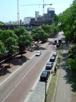
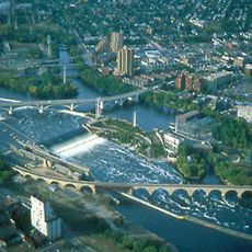
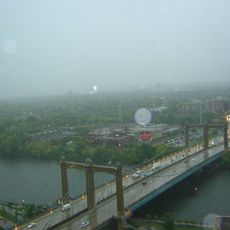
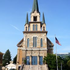
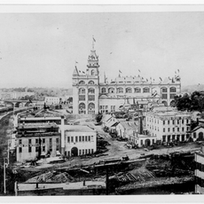
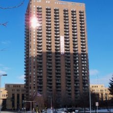
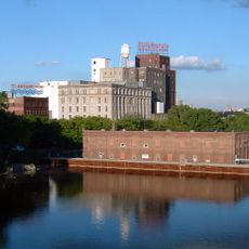
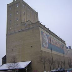
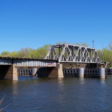
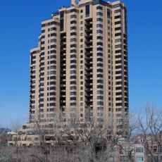
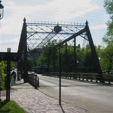
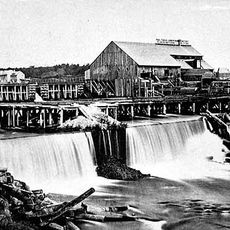
Nicollet Island/East Bank, neighborhood of Minneapolis, Minnesota, United States
Location: Minneapolis
Inception: 1849
Shares border with: St. Anthony West
GPS coordinates: 44.98611,-93.25722
Latest update: March 11, 2025 12:06
Saint Anthony Falls
507 m
Guthrie Theater
905 m
Stone Arch Bridge
656 m
Mill City Museum
747 m
Nicollet Island
505 m
Northwestern National Life Building
947 m
Pillsbury A Mill
433 m
Mill Ruins Park
642 m
Hennepin Avenue Bridge
533 m
Our Lady of Lourdes Catholic Church
75 m
100 Washington Square
876 m
Third Avenue Bridge
340 m
The Carlyle
659 m
Industrial Exposition Building
54 m
Gold Medal Park
1 km
Churchill Apartments
726 m
Hennepin Island Hydroelectric Plant
477 m
Ceresota Building
738 m
Minneapolis BNSF Rail Bridge
701 m
La Rive Condominiums
41 m
Merriam Street Bridge
173 m
Horatio P. Van Cleve House
919 m
Woodbury Fisk House
722 m
Upper Saint Anthony Falls
412 m
Saint Anthony Falls Upper Lock and Dam
507 m
Saint Anthony Falls Historic District
399 m
St. Anthony Main Theatre
202 m
Hennepin Island Park
610 mReviews
Visited this place? Tap the stars to rate it and share your experience / photos with the community! Try now! You can cancel it anytime.
Discover hidden gems everywhere you go!
From secret cafés to breathtaking viewpoints, skip the crowded tourist spots and find places that match your style. Our app makes it easy with voice search, smart filtering, route optimization, and insider tips from travelers worldwide. Download now for the complete mobile experience.
A unique approach to discovering new places❞
— Le Figaro
All the places worth exploring❞
— France Info
A tailor-made excursion in just a few clicks❞
— 20 Minutes