
McCall's Ferry Bridge, timber truss arch bridge over the Susquehanna River in Pennsylvania, USA, 1815-1818
Location: Lancaster County
Location: York County
Inception: 1815
GPS coordinates: 39.83948,-76.34882
Latest update: September 23, 2025 16:46
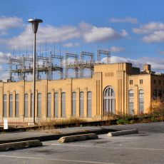
Safe Harbor Dam
9.8 km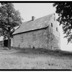
Hans Herr House
17.4 km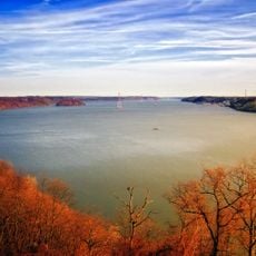
Susquehannock State Park
5.8 km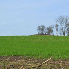
Conestoga Town
14.1 km
Norman Wood Bridge
3.3 km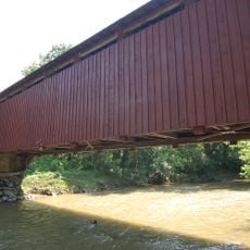
Baumgardener's Covered Bridge
11.1 km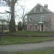
Robert Fulton Birthplace
16.6 km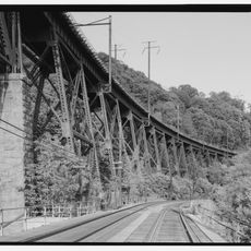
Safe Harbor Bridge
10 km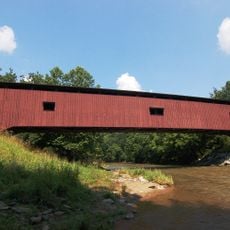
Colemanville Covered Bridge
6.6 km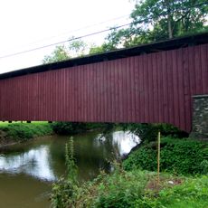
Lime Valley Covered Bridge
16.6 km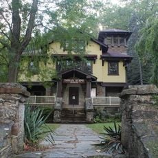
Indian Steps Cabin
3.5 km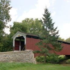
Neff's Mill Covered Bridge
18.7 km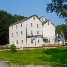
Muddy Creek Forks Historic District
11.4 km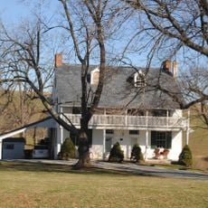
McCalls Ferry Farm
1.7 km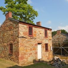
Coulsontown Cottages Historic District
13.3 km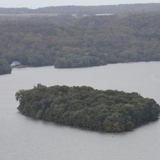
Duncan Island
2.7 km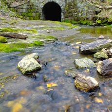
Holtwood Environmental Preserve
2.7 km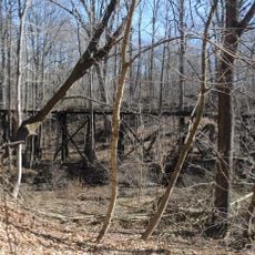
Delta Trestle Bridge, Maryland and Pennsylvania Railroad
12.4 km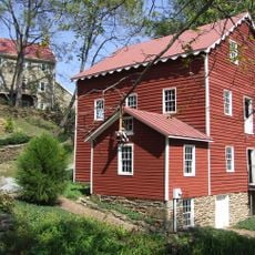
Wallace-Cross Mill
17 km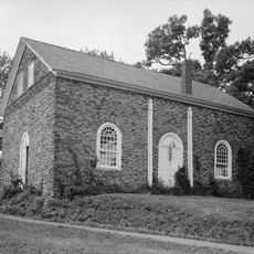
Guinston United Presbyterian Church
12.2 km
Strickler Site
18.3 km
Whiteford-Cardiff Historic District
13.8 km
Slate Ridge School
14.1 km
Delta Historic District
12.9 km
Murry Site
17.9 km
Shultz-Funk Site
17 km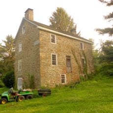
Payne's Folly
18.2 km
Maze Quest Fun Park
11.9 kmReviews
Visited this place? Tap the stars to rate it and share your experience / photos with the community! Try now! You can cancel it anytime.
Discover hidden gems everywhere you go!
From secret cafés to breathtaking viewpoints, skip the crowded tourist spots and find places that match your style. Our app makes it easy with voice search, smart filtering, route optimization, and insider tips from travelers worldwide. Download now for the complete mobile experience.

A unique approach to discovering new places❞
— Le Figaro
All the places worth exploring❞
— France Info
A tailor-made excursion in just a few clicks❞
— 20 Minutes