Tân Biên, district in Southeast, Vietnam
Location: Tây Ninh
Elevation above the sea: 14 m
GPS coordinates: 11.58300,106.00000
Latest update: March 7, 2025 21:39
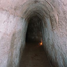
Củ Chi tunnels
81.8 km
Long An
103.6 km
Black Virgin Mountain
29 km
Văn Miếu Trấn Biên
111.3 km
Tram Chim National Park
109.1 km
Sun World BaDen Mountain
31.3 km
Dau Tieng Reservoir
45.4 km
Saint Philip Church
102.7 km
Gò Tháp
111.8 km
Phu Cuong Bridge
97.1 km
Hoi Khanh Temple
98.4 km
Neak Loeung Bridge
85.8 km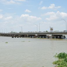
Hóa An Bridge
112.9 km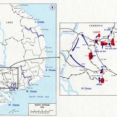
Parrot's Beak, Cambodia
60.7 km
Go Dau Stadium
100.2 km
Bien Hoa Citadel
113.6 km
Miếu Nổi
112.6 km
Southeastern Armed Forces Museum Military Zone 7
113.5 km
Saint Joseph Church
109.9 km
King Le Thai To Monument
108 km
Banteay Prey Nokor
76.7 km
Phu Long Bridge
108 km
Kizuna bridge
73 km
Prek Tamak Bridge
110.2 km
Dìn Ký
104.9 km
Kampong Cham Bamboo Bridge
73 km
Fire Line Female Citizen Relic Area
102.3 km
Sacred Heart Cathedral, Thu Dau Mot
97.9 kmReviews
Visited this place? Tap the stars to rate it and share your experience / photos with the community! Try now! You can cancel it anytime.
Discover hidden gems everywhere you go!
From secret cafés to breathtaking viewpoints, skip the crowded tourist spots and find places that match your style. Our app makes it easy with voice search, smart filtering, route optimization, and insider tips from travelers worldwide. Download now for the complete mobile experience.

A unique approach to discovering new places❞
— Le Figaro
All the places worth exploring❞
— France Info
A tailor-made excursion in just a few clicks❞
— 20 Minutes