Rensselaer County

Log in to your account

AroundUs is a community-driven map of interesting places, built by curious explorers like you. It grows with every review, story, and photo you share.
Connect to save your favorite spots, contribute locations, and create personalized routes.
Continue with Google
Continue with Apple
Continue with X
Continue with Facebook
Continue with email
By continuing, you accept our Terms and Conditions and our Privacy Policy
Create an account
Add to collection
Map
Suggest a change
Share

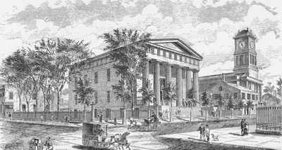
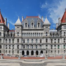
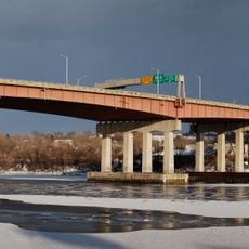
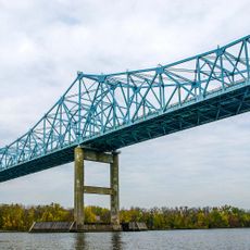
Rensselaer County, county in New York, United States

Location: New York

Inception: February 7, 1791

Capital city: Troy

Shares border with: Bennington County, Columbia County, Berkshire County, Greene County, Albany County, Saratoga County, Washington County

Website: http://rensco.com

GPS coordinates: 42.71000,-73.49000

Latest update: March 8, 2025 16:31

Photos
Around this place
New York State Legislature
United States of America

New York State Legislature

22.8 km
New York State Capitol
United States of America

New York State Capitol

22.8 km
New York State Executive Mansion
United States of America

New York State Executive Mansion

23.3 km
Schuyler Mansion
United States of America

Schuyler Mansion

23.5 km
United States of America

Manor of Rensselaerswyck

17.9 km
Watervliet Arsenal
United States of America

Watervliet Arsenal

17.9 km
United States of America

Fort Orange

22.5 km
USS Slater
United States of America

USS Slater

23.6 km
The Egg
United States of America

The Egg

23 km
Fort Nassau
United States of America

Fort Nassau

23.2 km
Erastus Corning Tower
United States of America

Erastus Corning Tower

23.1 km
Cohoes Falls
United States of America

Cohoes Falls

19.9 km
Thaddeus Kosciusko Bridge
United States of America

Thaddeus Kosciusko Bridge

24 km
New York State Museum
United States of America

New York State Museum

23.3 km
Albany City Hall
United States of America

Albany City Hall

22.6 km
Palace Theatre
United States of America

Palace Theatre

22.2 km
Northern boundary of Massachusetts
United States of America

Northern boundary of Massachusetts

18.8 km
Dunn Memorial Bridge
United States of America

Dunn Memorial Bridge

22.4 km
Central Troy Historic District
United States of America

Central Troy Historic District

16.5 km
Washington Park Historic District
United States of America

Washington Park Historic District

23.8 km
EMPAC
United States of America

EMPAC

16 km
Troy Savings Bank
United States of America

Troy Savings Bank

16.6 km
Peebles Island State Park
United States of America

Peebles Island State Park

17.8 km
Cathedral of the Immaculate Conception
United States of America

Cathedral of the Immaculate Conception

23.2 km
First Church in Albany
United States of America

First Church in Albany

22.2 km
Castleton Bridge
United States of America

Castleton Bridge

32.3 km
Alfred E. Smith Building
United States of America

Alfred E. Smith Building

23 km
Buskirk Bridge
United States of America

Buskirk Bridge

28 km
Show the full map
Reviews

Visited this place? Tap the stars to rate it and share your experience / photos with the community! Try now! You can cancel it anytime.

Administrative divisions
« Rensselaer County - county in New York, United States » is provided by Around Us (aroundus.com). Images and texts are derived from Wikimedia project under a Creative Commons license. You are allowed to copy, distribute, and modify copies of this page, under the conditions set by the license, as long as this note is clearly visible.

Discover hidden gems everywhere you go!

From secret cafés to breathtaking viewpoints, skip the crowded tourist spots and find places that match your style. Our app makes it easy with voice search, smart filtering, route optimization, and insider tips from travelers worldwide. Download now for the complete mobile experience.

Around Us App Screenshot

A unique approach to discovering new places

Le Figaro

All the places worth exploring

France Info

A tailor-made excursion in just a few clicks

20 Minutes