
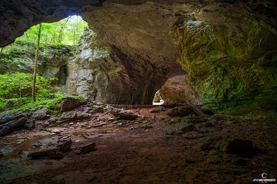
Natural Bridge
Location: Carter County
Address: Cave Rd, Olive Hill, KY 41164, USA 41164 Olive Hill 41164 Olive Hill
GPS coordinates: 38.37797,-83.12623
Latest update: May 28, 2025 23:32
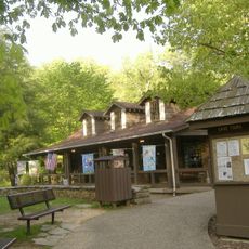
Carter Caves State Resort Park
570 m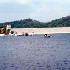
Grayson Lake
18.8 km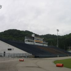
Jayne Stadium
33.3 km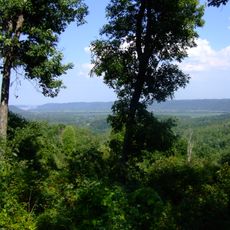
Shawnee State Forest
35.1 km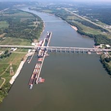
Greenup Lock and Dam
37.9 km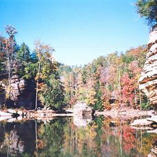
Grayson Lake State Park
20.4 km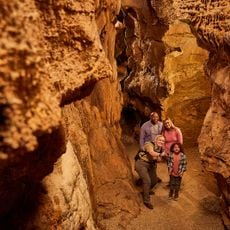
Shangra La Arch
1.3 km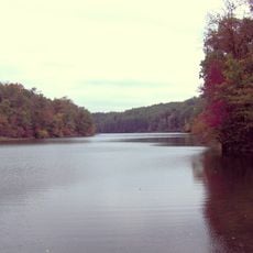
Greenbo Lake
25.9 km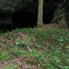
Bat Cave and Cascade Caverns State Nature Preserves
2.8 km
Kentucky Folk Art Center
34.7 km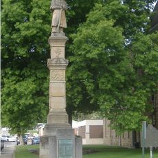
Union Monument in Vanceburg
29.8 km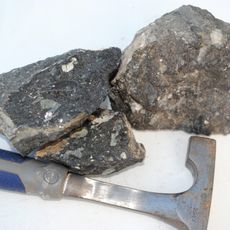
Elliott County Kimberlite
30.1 km
Jesse Stuart Memorial Bridge
37.9 km
Adams County Paleo-Indian District
30 km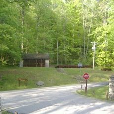
Saltpeter Cave
270 m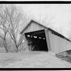
Bennett's Mill Covered Bridge
33 km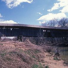
Oldtown Covered Bridge
21 km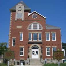
Rowan County Courthouse
34.4 km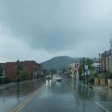
Downtown Morehead Historic District
34.9 km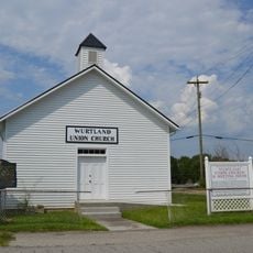
Wurtland Union Church
35.7 km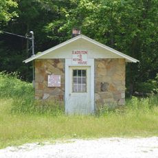
Haldeman Voting House No. 8
22.8 km
Greenup Masonic Lodge
33.6 km
Methodist Episcopal Church South
33.7 km
Brushy Voting House No. 6
36.4 km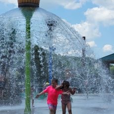
Sheltowee Falls Splash Pad
34.3 km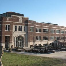
Morehead State University
34.3 km
Portsmouth Earthworks, Group A
39.3 km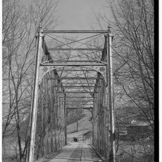
Hopewell Bridge
19.5 kmReviews
Visited this place? Tap the stars to rate it and share your experience / photos with the community! Try now! You can cancel it anytime.
Discover hidden gems everywhere you go!
From secret cafés to breathtaking viewpoints, skip the crowded tourist spots and find places that match your style. Our app makes it easy with voice search, smart filtering, route optimization, and insider tips from travelers worldwide. Download now for the complete mobile experience.

A unique approach to discovering new places❞
— Le Figaro
All the places worth exploring❞
— France Info
A tailor-made excursion in just a few clicks❞
— 20 Minutes