
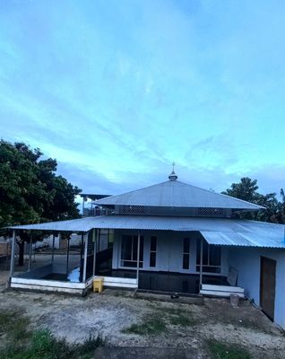
Pasir Panjang
Location: Maluku Tenggara
Address: 8JMP+WJQ, Ngilngof, Kei Kecil, Sotheast Maluku Regency, Maluku, Indonesia
GPS coordinates: -5.66113,132.63652
Latest update: March 30, 2025 14:21
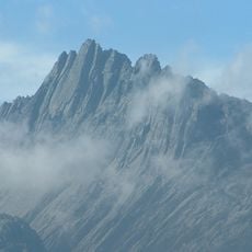
Puncak Jaya
531.6 km
Sahul Shelf
450.5 km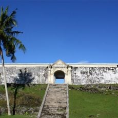
Fort Duurstede
498.7 km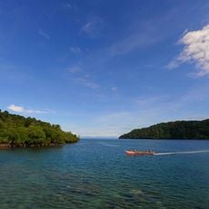
Teluk Cenderawasih National Park
435.6 km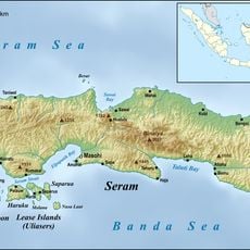
Mount Binaiya
448.7 km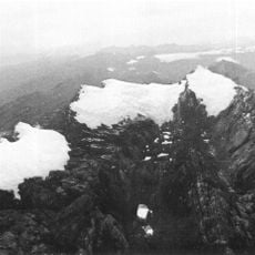
Carstensz Glacier
533.6 km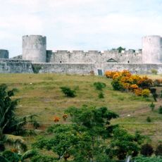
Fort Belgica
328.8 km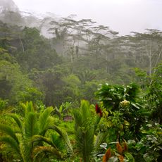
Manusela National Park
459.2 km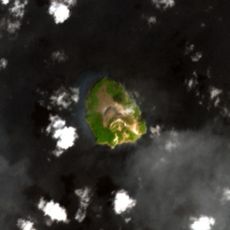
Mount Manuk
258.6 km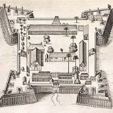
Fort Nassau
328.8 km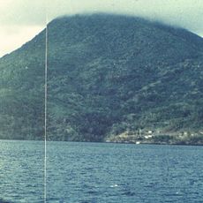
Mount Nila
366.9 km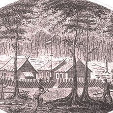
Fort Du Bus
266.8 km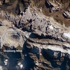
West Northwall Firn
533.8 km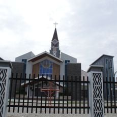
Three Kings Cathedral
487.8 km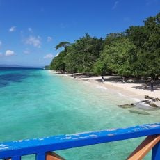
North Liang Beach
533.7 km
Arfak Reserve
513.7 km
Wurlali
467.6 km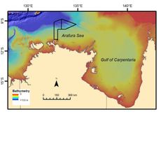
Arafura Marine Park
483.2 km
Pantai Ina Marina
486 km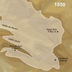
Wollaston Glacier
533.2 km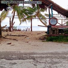
PantaI Batu Kora
172.8 km
Wisata Pantai Batu Kuda
527.7 km
Pantai Papaliseran
179.3 km
Rumah Budaya Banda Neira
329 km
Fort Hollandia
329.7 km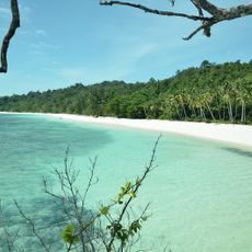
Wayop Beach
302.1 km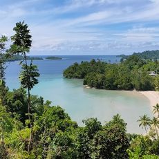
Pantai Wartutin
307.9 km
Pantai Pasir Karunia
179.5 kmReviews
Visited this place? Tap the stars to rate it and share your experience / photos with the community! Try now! You can cancel it anytime.
Discover hidden gems everywhere you go!
From secret cafés to breathtaking viewpoints, skip the crowded tourist spots and find places that match your style. Our app makes it easy with voice search, smart filtering, route optimization, and insider tips from travelers worldwide. Download now for the complete mobile experience.

A unique approach to discovering new places❞
— Le Figaro
All the places worth exploring❞
— France Info
A tailor-made excursion in just a few clicks❞
— 20 Minutes