Chest opened
+${chestReward.xp} XP
Explorer
NOUVEAU ×${chestReward.collectible.quantity}
tapez pour fermer

See the monuments around you in AR Open chests in the app

Around Us is built for your phone — point your camera at the streets and discover the monuments and places around you in augmented reality. Around Us is built for your phone — chests unlock when you walk, explore and capture nearby places.

Enable Location

We need your location to show you interesting places around you

Discover nearby places

Find interesting locations and hidden gems around you

Precise directions

Get accurate directions and distances to places

Your location is never shared with other users. It's only used when you tap the location button.

Bell Trail

Log in to your account

Start exploring — it's free

Trusted by 86,211 travelers worldwide

Continue with Google
Continue with Apple
or

We will send you a code to connect

By continuing, you accept our Terms and Conditions and our Privacy Policy

Check your inbox

We've sent a pincode in your inbox. Please enter the code below.

Bell Trail
Discussion Reviews 1 Photos
200+ Popularity

Bell Trail, Trailhead in Verde Valley, Arizona, US

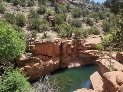
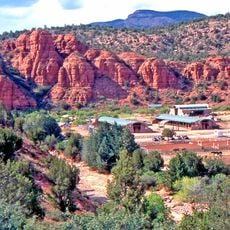
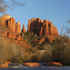
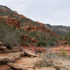
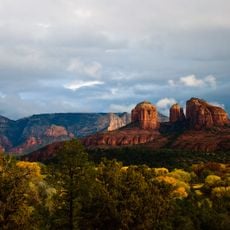
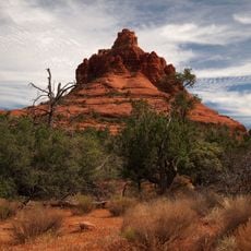
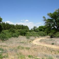
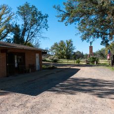
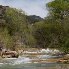
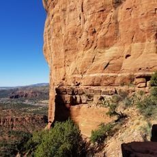
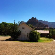
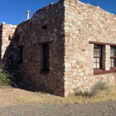
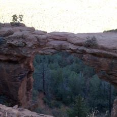
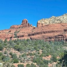
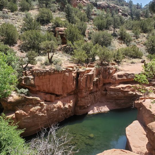
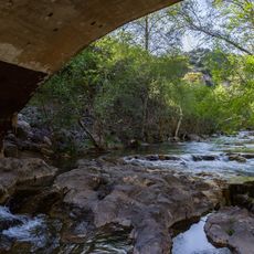
Bell Trail is an 8-mile route running through Coconino National Forest with red dirt paths, streams, and layered sandstone formations throughout. The path follows Wet Beaver Creek and includes natural swimming holes and various elevation changes along the way.

The land was part of the V Bar V Ranch until 1994, when the Coconino National Forest took ownership and opened it to the public. This transfer made the area available for recreation and conservation purposes.

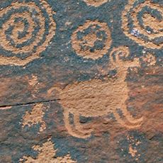
Ancient rock carvings left by indigenous peoples line the route, showing how communities once lived and connected with this land. Visitors walking the path encounter these marks of early human presence throughout their journey.

Parking for RVs and horse trailers is available at the Bruce Brockett Trailhead, while the main entrance has restroom facilities and standard parking. Bring plenty of water and snacks since the trail takes several hours to complete and passes through remote sections.

Bell's Crossing contains a natural pool called The Crack located at about 4,265 feet elevation that many hikers overlook. This hidden water feature provides a refreshing spot on warm days when few travelers realize it is there.

The community of curious travelers

AroundUs brings together thousands of curated places, local tips, and hidden gems, enriched daily by 60,000 contributors worldwide.
Start exploring
Address
Rimrock, AZ 86335, USA
GPS coordinates
34.67437,-111.71344
Latest update
September 12, 2026 11:20
Around this place
Oak Creek Canyon
United States of America

Oak Creek Canyon

16.5 mi
Cathedral Rock
United States of America

Cathedral Rock

11 mi
Slide Rock State Park
United States of America

Slide Rock State Park

16.7 mi
Red Rock State Park
United States of America

Red Rock State Park

11.7 mi
Tuzigoot National Monument
United States of America

Tuzigoot National Monument

19.2 mi
Bell Rock
United States of America

Bell Rock

9.2 mi
Dead Horse Ranch State Park
United States of America

Dead Horse Ranch State Park

17.8 mi
Out of Africa Wildlife Park
United States of America

Out of Africa Wildlife Park

12.7 mi
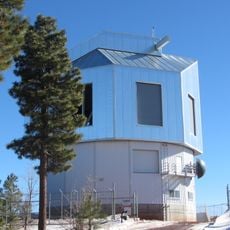
Discovery Channel Telescope
United States of America

Discovery Channel Telescope

17.3 mi
Fort Verde State Historic Park
United States of America

Fort Verde State Historic Park

10.9 mi
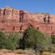
Courthouse Butte
United States of America

Courthouse Butte

9.1 mi
V-Bar-V Heritage Site
United States of America

V-Bar-V Heritage Site

1 mi
Fossil Springs Wilderness
United States of America

Fossil Springs Wilderness

18.4 mi
Cathedral Rock Trailhead
United States of America

Cathedral Rock Trailhead

11.3 mi
Fossil Creek Bridge
United States of America

Fossil Creek Bridge

20 mi
Beaver Creek Ranger Station
United States of America

Beaver Creek Ranger Station

0.2 mi
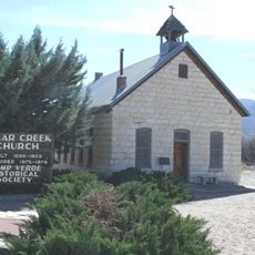
Clear Creek Church
United States of America

Clear Creek Church

12.2 mi
Sedona Ranger Station
United States of America

Sedona Ranger Station

13.4 mi
Master Mechanic's House
United States of America

Master Mechanic's House

18.2 mi
Willard House
United States of America

Willard House

18.7 mi
Sedona Heritage Museum
United States of America

Sedona Heritage Museum

14.4 mi
Tuzigoot Museum
United States of America

Tuzigoot Museum

19 mi
Devil's Bridge, Sedona
United States of America

Devil's Bridge, Sedona

16.4 mi
Verde Valley Archaeology Center and Museum
United States of America

Verde Valley Archaeology Center and Museum

11.3 mi
Wilson Mountain Trailhead
United States of America

Wilson Mountain Trailhead

14.7 mi
Clark Memorial Clubhouse
United States of America

Clark Memorial Clubhouse

20.6 mi
Midgley Bridge
United States of America

Midgley Bridge

14.7 mi
Apache Maid Lookout
United States of America

Apache Maid Lookout

9.9 mi
Show the full map
Reviews
Share your experience

No review yet

Discussions
Start a discussion...

No discussion yet

« Bell Trail - Trailhead in Verde Valley, Arizona, US » is provided by Around Us (aroundus.com). Images and texts are derived from Wikimedia project under a Creative Commons license. You are allowed to copy, distribute, and modify copies of this page, under the conditions set by the license, as long as this note is clearly visible.

Discover hidden gems everywhere you go!

From secret cafés to breathtaking viewpoints, skip the crowded tourist spots and find places that match your style. Our app makes it easy with voice search, smart filtering, route optimization, and insider tips from travelers worldwide. Download now for the complete mobile experience.
Around Us App Screenshot

A unique approach to discovering new places

Le Figaro

All the places worth exploring

France Info

A tailor-made excursion in just a few clicks

20 Minutes

Around Us
Travel Guide & Maps
Download

Send to your phone

QR Code
1

Open the camera app on your mobile.

2

Point at the QR code with your camera. A notification will appear.

3

Tap the notification to open the link.