Chest opened
+${chestReward.xp} XP
Explorer
NOUVEAU ×${chestReward.collectible.quantity}
tapez pour fermer

See the monuments around you in AR Open chests in the app

Around Us is built for your phone — point your camera at the streets and discover the monuments and places around you in augmented reality. Around Us is built for your phone — chests unlock when you walk, explore and capture nearby places.

Enable Location

We need your location to show you interesting places around you

Discover nearby places

Find interesting locations and hidden gems around you

Precise directions

Get accurate directions and distances to places

Your location is never shared with other users. It's only used when you tap the location button.

Fossil Springs Wilderness

Log in to your account

Start exploring — it's free

Trusted by 85,498 travelers worldwide

Continue with Google
Continue with Apple
or

We will send you a code to connect

By continuing, you accept our Terms and Conditions and our Privacy Policy

Check your inbox

We've sent a pincode in your inbox. Please enter the code below.

Fossil Springs Wilderness
Discussion Reviews 1 Photos
3k Popularity

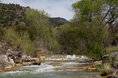
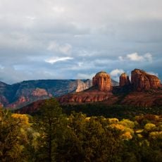
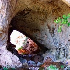
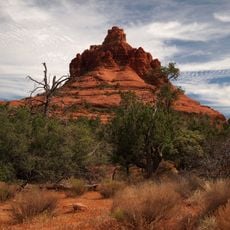
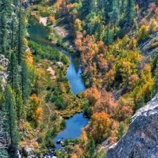
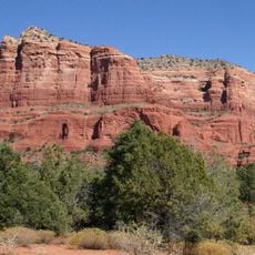
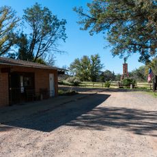
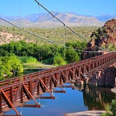
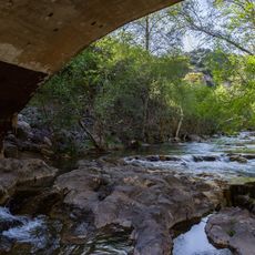
Fossil Springs Wilderness, Protected wilderness area in Coconino National Forest, Arizona.

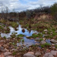
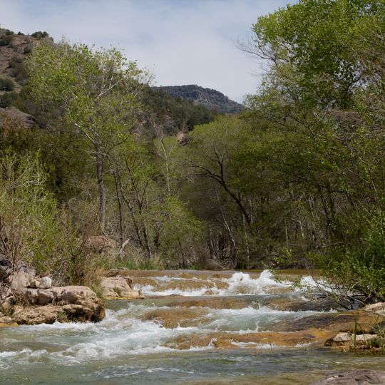
Fossil Springs Wilderness is a protected natural area in Arizona covering about 11,550 acres with springs that produce a steady flow of water. The terrain drops steeply to reach these water sources, which sit at the edge of the Colorado Plateau.

The Forest Service protected this land in 1984 to preserve its natural state and ecological value. The designation came to shield the springs and surrounding environment from development and resource extraction.

Native American communities relied on the flowing water and fertile banks for survival in this arid landscape. Visitors can walk through the same springs that sustained people for centuries, connecting with the place's indigenous past.

Be ready for steep trails and bring enough water, as temperatures can shift dramatically throughout the day. Camping requires permits, so plan ahead before heading out.

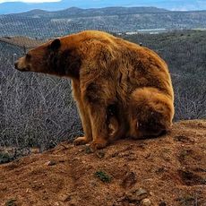
More than 30 tree species and over 100 bird species live here, making it one of Arizona's richest riparian zones. This diversity emerges because constant water creates an oasis where life flourishes in an otherwise dry landscape.

The community of curious travelers

AroundUs brings together thousands of curated places, local tips, and hidden gems, enriched daily by 60,000 contributors worldwide.
Start exploring
Location
GPS coordinates
34.44890,-111.54300
Latest update
August 30, 2026 13:02
Around this place
Oak Creek Canyon
United States of America

Oak Creek Canyon

33.7 mi
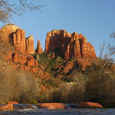
Cathedral Rock
United States of America

Cathedral Rock

29.4 mi
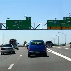
Interstate 17
United States of America

Interstate 17

28 mi
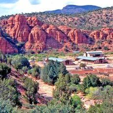
Red Rock State Park
United States of America

Red Rock State Park

30.1 mi
Tonto Natural Bridge
United States of America

Tonto Natural Bridge

10.2 mi
Bell Rock
United States of America

Bell Rock

27.4 mi
Blue Ridge Reservoir
United States of America

Blue Ridge Reservoir

20.2 mi
Out of Africa Wildlife Park
United States of America

Out of Africa Wildlife Park

24.4 mi
Discovery Channel Telescope
United States of America

Discovery Channel Telescope

21.6 mi
Wet Beaver Wilderness
United States of America

Wet Beaver Wilderness

10.8 mi
Fort Verde State Historic Park
United States of America

Fort Verde State Historic Park

19.4 mi
Childs-Irving Hydroelectric Facilities
United States of America

Childs-Irving Hydroelectric Facilities

11.2 mi
Courthouse Butte
United States of America

Courthouse Butte

27.2 mi
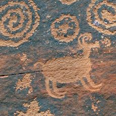
V-Bar-V Heritage Site
United States of America

V-Bar-V Heritage Site

17.8 mi
Verde River Sheep Bridge
United States of America

Verde River Sheep Bridge

27.4 mi
Tonto Natural Bridge State Park
United States of America

Tonto Natural Bridge State Park

10.2 mi
Fossil Creek Bridge
United States of America

Fossil Creek Bridge

6.2 mi
Beaver Creek Ranger Station
United States of America

Beaver Creek Ranger Station

18.2 mi
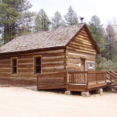
Strawberry Schoolhouse
United States of America

Strawberry Schoolhouse

3.3 mi
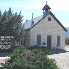
Clear Creek Church
United States of America

Clear Creek Church

17.1 mi
Sedona Ranger Station
United States of America

Sedona Ranger Station

31.3 mi
Copper Creek Guard Station
United States of America

Copper Creek Guard Station

29.7 mi
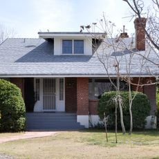
Master Mechanic's House
United States of America

Master Mechanic's House

33.8 mi
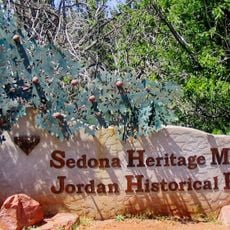
Sedona Heritage Museum
United States of America

Sedona Heritage Museum

32.2 mi
Verde Valley Archaeology Center and Museum
United States of America

Verde Valley Archaeology Center and Museum

19.9 mi
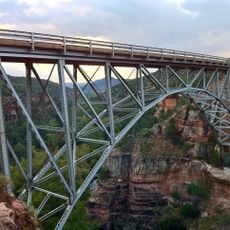
Midgley Bridge
United States of America

Midgley Bridge

32.3 mi
Moqui Lookout
United States of America

Moqui Lookout

22.8 mi
Apache Maid Lookout
United States of America

Apache Maid Lookout

19.1 mi
Show the full map
Reviews
Share your experience

No review yet

Discussions
Start a discussion...

No discussion yet

« Fossil Springs Wilderness - Protected wilderness area in Coconino National Forest, Arizona » is provided by Around Us (aroundus.com). Images and texts are derived from Wikimedia project under a Creative Commons license. You are allowed to copy, distribute, and modify copies of this page, under the conditions set by the license, as long as this note is clearly visible.

Discover hidden gems everywhere you go!

From secret cafés to breathtaking viewpoints, skip the crowded tourist spots and find places that match your style. Our app makes it easy with voice search, smart filtering, route optimization, and insider tips from travelers worldwide. Download now for the complete mobile experience.
Around Us App Screenshot

A unique approach to discovering new places

Le Figaro

All the places worth exploring

France Info

A tailor-made excursion in just a few clicks

20 Minutes

Around Us
Travel Guide & Maps
Download

Send to your phone

QR Code
1

Open the camera app on your mobile.

2

Point at the QR code with your camera. A notification will appear.

3

Tap the notification to open the link.