Enable Location

We need your location to show you interesting places around you

Discover nearby places

Find interesting locations and hidden gems around you

Precise directions

Get accurate directions and distances to places

Your location is never shared with other users. It's only used when you tap the location button.

Tábor

Log in to your account

Start exploring — it's free

Trusted by 63,344 travelers worldwide

Continue with Google
Continue with Apple
or

We will send you a code to connect

By continuing, you accept our Terms and Conditions and our Privacy Policy

Check your inbox

We've sent a pincode in your inbox. Please enter the code below.

Discussion Reviews 4 Photos
64.2k Popularity

Tábor, Administrative district in South Bohemia, Czech Republic

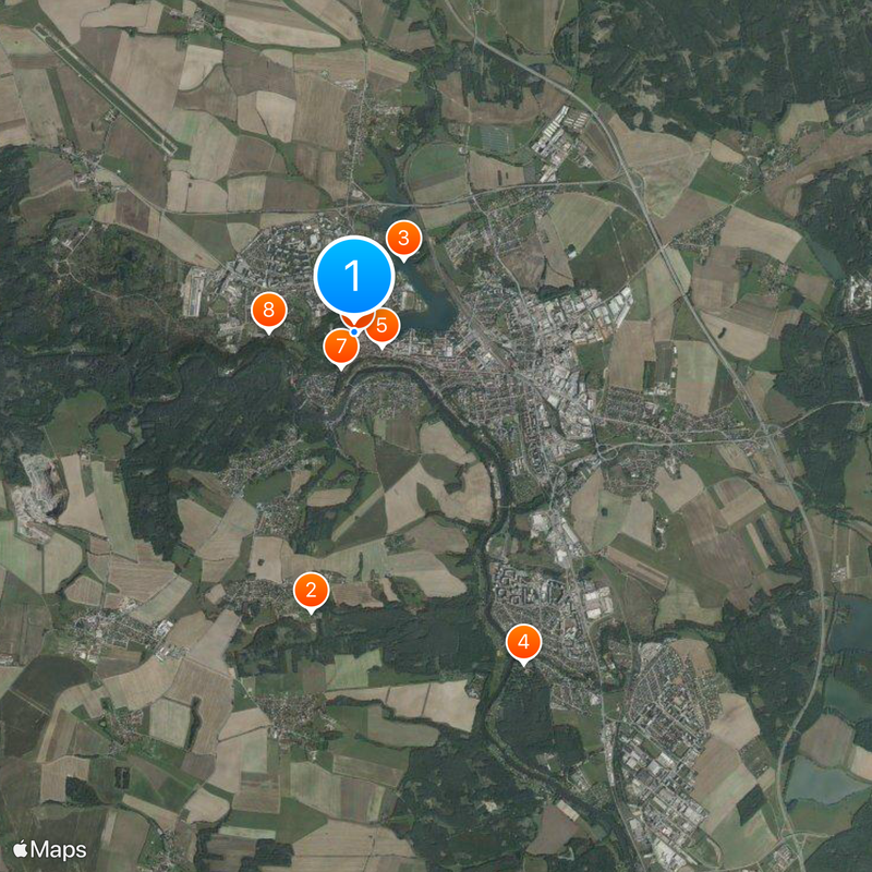
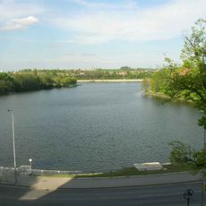
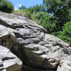
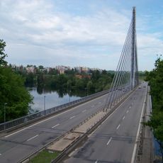
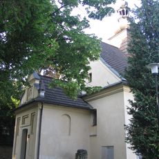
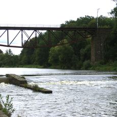
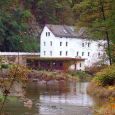
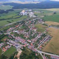
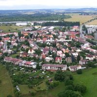
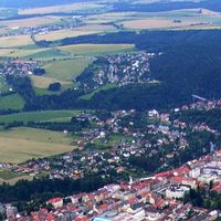
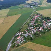
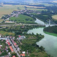
Tábor is an administrative district in South Bohemia that spreads across highlands, hills and flat basin landscapes. The countryside alternates between gentle valleys and wooded rises, crossed by rivers and smaller watercourses.

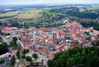
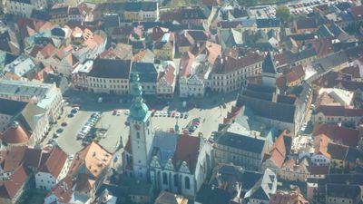
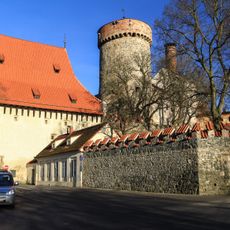
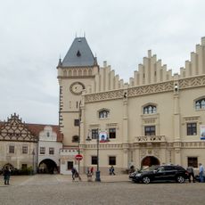
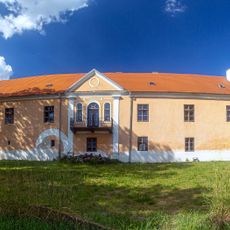
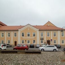
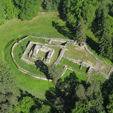
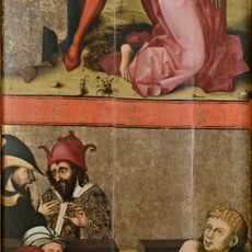
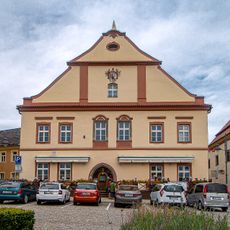
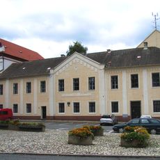
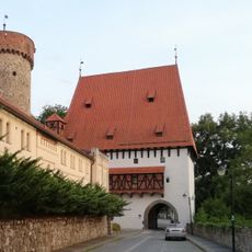
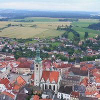
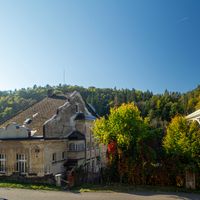
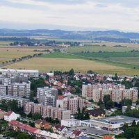
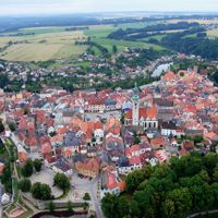
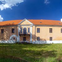
The town at the center of the district arose in 1420 as a fortified settlement during religious conflicts. The region evolved over the centuries from a military base to an administrative and trade center.

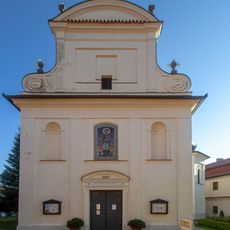
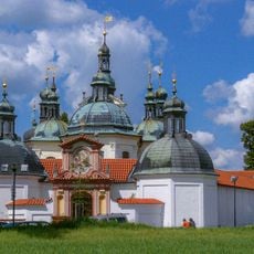
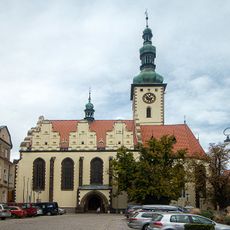
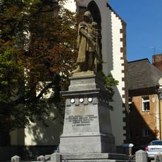
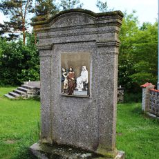
The district takes its name from the town founded by Hussites, referring to a biblical mountain. In the streets and public squares, monuments and building forms recall this religious reform movement that shaped daily life.

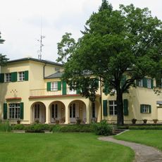
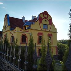
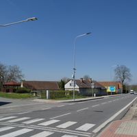
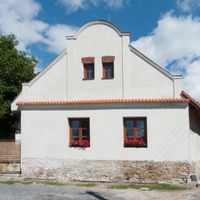
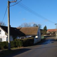
Travelers reach the district via motorway D3, which connects Prague to the south. The region suits both short visits to the main town and longer stays in smaller settlements and rural areas.

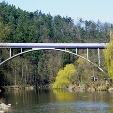
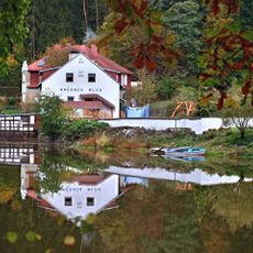
The Lužnice river crosses the lowest parts of the area at 354 meters, while Batkovy Hill forms the highest point at 724 meters. This elevation difference of nearly 400 meters creates very different microclimates and vegetation zones within a relatively small space.

The community of curious travelers

AroundUs brings together thousands of curated places, local tips, and hidden gems, enriched daily by 60,000 contributors worldwide.

Start exploring
Location
Elevation above the sea
437 m
Reference
CZ0317552046
Shares border with
Košín, Radimovice u Tábora, Balkova Lhota, Svrabov, Libějice, Turovec, Dražice, Radimovice u Želče, Sezimovo Ústí, Ratibořské Hory, Chýnov, Nová Ves u Chýnova, Planá nad Lužnicí, Chotoviny, Slapy, Nasavrky
GPS coordinates
49.41448,14.65784
Latest update
December 13, 2025 18:37
Reviews
Share your experience

No review yet

Discussions
Start a discussion...

No discussion yet

« Tábor - Administrative district in South Bohemia, Czech Republic » is provided by Around Us (aroundus.com). Images and texts are derived from Wikimedia project under a Creative Commons license. You are allowed to copy, distribute, and modify copies of this page, under the conditions set by the license, as long as this note is clearly visible.

Discover hidden gems everywhere you go!

From secret cafés to breathtaking viewpoints, skip the crowded tourist spots and find places that match your style. Our app makes it easy with voice search, smart filtering, route optimization, and insider tips from travelers worldwide. Download now for the complete mobile experience.

Around Us App Screenshot

A unique approach to discovering new places

Le Figaro

All the places worth exploring

France Info

A tailor-made excursion in just a few clicks

20 Minutes

Around Us
Travel Guide & Maps
Download

Send to your phone

QR Code
1

Open the camera app on your mobile.

2

Point at the QR code with your camera. A notification will appear.

3

Tap the notification to open the link.