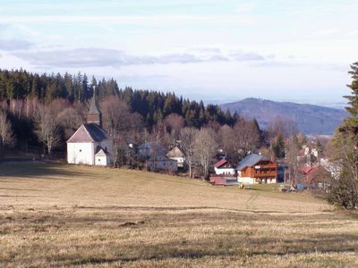
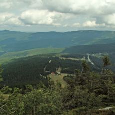
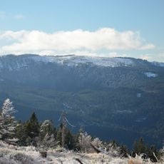
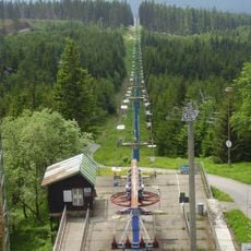
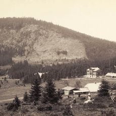
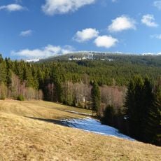
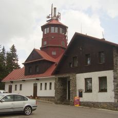
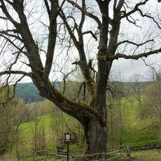
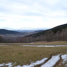
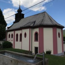
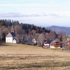
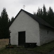
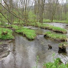
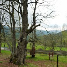
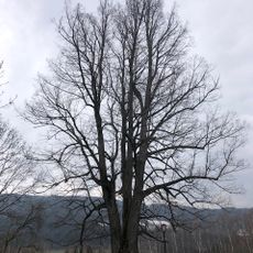
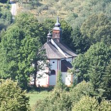
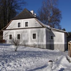
Hojsova Stráž, part of Železná Ruda in Klatovy District
Location: Železná Ruda
Elevation above the sea: 890 m
GPS coordinates: 49.21667,13.20000
Latest update: March 3, 2025 17:45
Landschaftsschutzgebiet Böhmerwald
2.7 km
Zwercheck
5.3 km
Panzer
5.8 km
Spitzberg
4.9 km
Vodopád v Bílé strži
4.3 km
Kaple svaté Kunhuty
2.8 km
Rozhledna Špičák u Železné Rudy
4.9 km
Brückelberg
3.8 km
Pancíř
5.8 km
Královský hvozd
5.1 km
Brčálnické mokřady
3.5 km
Brčálnický jasan
3.1 km
Městišťské rokle
3.3 km
Kostel Panny Marie Bolestné
3.2 km
Jezerní jedle
4 km
Lakmal
1.8 km
Zelenský luh
2.5 km
Church of the Immaculate Conception (Hojsova Stráž)
865 m
Chapel of Virgin Mary
3.9 km
Úhlavský luh
3.5 km
Brčálnická lípa
3.2 km
Lípa pod čističkou
476 m
Church of Saint Wolfgang
3.9 km
Pomník v Hamrech
3.2 km
Kašna
3.2 km
Dům čp. 1
4.1 km
Denkschertzův hamr
4.3 km
Fara
818 mVisited this place? Tap the stars to rate it and share your experience / photos with the community! Try now! You can cancel it anytime.
Discover hidden gems everywhere you go!
From secret cafés to breathtaking viewpoints, skip the crowded tourist spots and find places that match your style. Our app makes it easy with voice search, smart filtering, route optimization, and insider tips from travelers worldwide. Download now for the complete mobile experience.
A unique approach to discovering new places❞
— Le Figaro
All the places worth exploring❞
— France Info
A tailor-made excursion in just a few clicks❞
— 20 Minutes