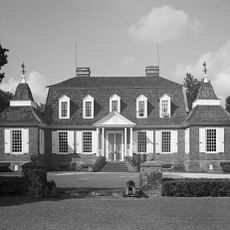
Eutaw Springs Battleground Park
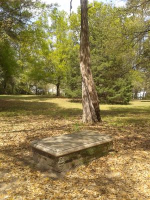
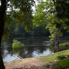
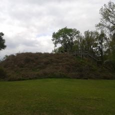
Eutaw Springs Battleground Park is a small preserved area in South Carolina covering about 2.7 acres near the edge of Lake Marion in Eutawville. The site features historical markers, the tomb of a British commander, and open fields with trees that help visitors imagine the 1781 battle that took place here.
The battle occurred on September 8, 1781, when General Nathanael Greene led approximately 2,100 American soldiers in a surprise attack on a British camp commanded by Colonel Alexander Stewart. Although the Americans initially pushed the British back, they ultimately lost the fight, but this battle marked the effective end of British control in South Carolina and is viewed by many as a turning point in the war.
The name "Eutaw Springs" comes from a natural spring that feeds water from the ground. The battlefield today feels quiet and green, a place for reflection where visitors can sense the history directly.
The park is easily accessible from Old Number Six Highway and has no entrance fee. The paths are simple to follow, and the best time to visit is during the day, though the area is also accessible in early morning hours.
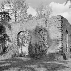
The tomb of British Major John Majoribanks was moved here in 1948 from a nearby plantation after the area was flooded to create Lake Marion. This relocation shows how modern changes altered the landscape and moved physical traces of the past.
The community of curious travelers
AroundUs brings together thousands of curated places, local tips, and hidden gems, enriched daily by 60,000 contributors worldwide.