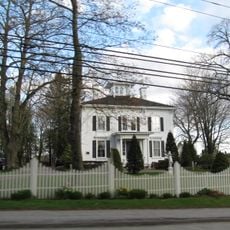
Holbrook Island Sanctuary State Park, Nature reserve in Brooksville, Maine
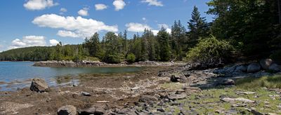
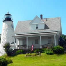
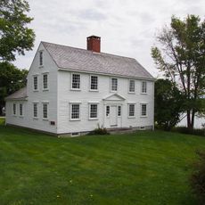
Holbrook Island Sanctuary State Park is a nature reserve in Maine that combines coastal woodlands, wetlands, rocky shorelines, and open meadows. The property spreads across about 1,345 acres (545 hectares) along the waters of Penobscot Bay.
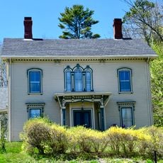
The sanctuary was established in 1971 when Anita Harris donated land she had acquired during the 1960s to preserve the coastal environment. Her gift transformed this area into a protected space for public use.
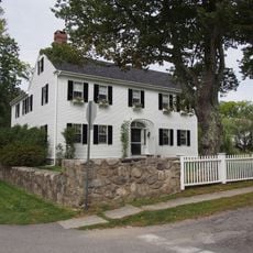
The cemetery on the grounds honors early settlers from the area, allowing visitors to connect with those who first inhabited this coastal region. Walking through the property, you can feel how people have long lived in relationship with this landscape.
The park has about 11 miles (18 kilometers) of trails open for hiking and cross-country skiing in different seasons. Kayaking and canoeing are possible from Tom Cod Cove, which offers water access.
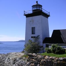
The sanctuary extends beyond the mainland to include a separate island with its own trails and viewpoints along the rocky coast. This island portion offers a different perspective on the landscape and creates distinct exploration routes for visitors.
Location: Maine
Inception: 1971
Website: https://apps.web.maine.gov/cgi-bin/online/doc/parksearch/details.pl?park_id=9
GPS coordinates: 44.35530,-68.79690
Latest update: December 6, 2025 17:45
Maine offers coastal areas, forest landscapes and many historic sites. The region extends from the Atlantic Ocean to wooded mountains inland. Visitors find state parks like Baxter and Acadia, which provide opportunities for hiking and observing wildlife. The coast is lined with lighthouses, including Pemaquid Point and West Quoddy Head. Islands such as Monhegan and Peaks Island lie offshore. Waterfalls like Screw Auger Falls and Angel Falls draw hikers. Lakes such as Moosehead Lake attract people in warmer months. Old military structures like Fort Gorges remain from earlier centuries. Trails lead through areas like Gulf Hagas and Vaughan Woods. The landscape includes beaches at Roque Bluffs and Reid State Park, where sand meets the ocean. Mountain trails at Tumbledown offer views of surrounding valleys. The Carriage Roads on Mount Desert Island provide paths through forests and along lakeshores. Nature areas like Orono Bog Boardwalk allow close views of wetland plants. These places show the variety of terrain Maine contains, from rocky shores to inland wilderness.
Deer Isle Bridge
11 km
Bowdoin
3.5 km
Fort George
4 km
Fort Pentagouet
3.6 km
Moose Point State Park
15.2 km
Fort Point Light
12.5 km
Fort Point State Park
12.5 km
Fort Pownall Memorial
12.6 km
Dice Head Light
3.5 km
Pumpkin Island Light
6.7 km
Penobscot Marine Museum
15.4 km
Grindel Point Light
14.2 km
Eagle Island Light
15.5 km
Winter Harbor Light
6.7 km
Pentagoet Archeological District
3.3 km
Wilson Museum
3.3 km
West Brooksville Congregational Church
5.4 km
John Perkins House
3.3 km
Cate House
3.7 km
Capt. William McGilvery House
14.9 km
Capt. John McGilvery House
14.9 km
Castine Historic District
4 km
Searsport Historic District
15.4 km
East Main Street Historic District
14.7 km
Capt. John P. Nichols House
14.8 km
James G. Pendleton House
15.3 km
Carver Memorial Library
15.4 km
Union Hall
15.4 kmReviews
Visited this place? Tap the stars to rate it and share your experience / photos with the community! Try now! You can cancel it anytime.
Discover hidden gems everywhere you go!
From secret cafés to breathtaking viewpoints, skip the crowded tourist spots and find places that match your style. Our app makes it easy with voice search, smart filtering, route optimization, and insider tips from travelers worldwide. Download now for the complete mobile experience.
A unique approach to discovering new places❞
— Le Figaro
All the places worth exploring❞
— France Info
A tailor-made excursion in just a few clicks❞
— 20 Minutes