Chest opened
+${chestReward.xp} XP
Explorer
NOUVEAU ×${chestReward.collectible.quantity}
tapez pour fermer

See the monuments around you in AR Open chests in the app

Around Us is built for your phone — point your camera at the streets and discover the monuments and places around you in augmented reality. Around Us is built for your phone — chests unlock when you walk, explore and capture nearby places.

•

Enable Location

We need your location to show you interesting places around you

Discover nearby places

Find interesting locations and hidden gems around you

Precise directions

Get accurate directions and distances to places

Your location is never shared with other users. It's only used when you tap the location button.

Lake Waramaug

Log in to your account

Start exploring — it's free

Trusted by 94,513 travelers worldwide

Continue with Google
Continue with Apple
or

We will send you a code to connect

By continuing, you accept our Terms and Conditions and our Privacy Policy

Check your inbox

We've sent a pincode in your inbox. Please enter the code below.

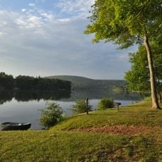
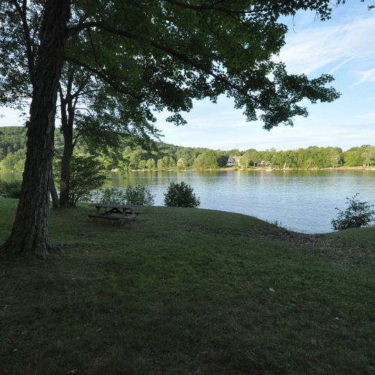
Lake Waramaug, Lake in Litchfield County, Connecticut, United States

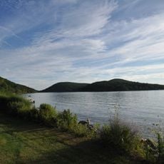
Lake Waramaug is a natural lake in Litchfield County, Connecticut, United States. It sits in a valley surrounded by wooded hills, with a shoreline that mixes public beaches, private homes, and forested coves.

The lake formed during the last ice age and was later used by Native Americans for fishing and travel. In the 19th century, farms and small resorts grew around its shores, shaping the landscape you see today.

The lake is a local gathering spot in summer, when families come to swim and picnic at the town beach. On weekends, you might see small sailboats and kayaks gliding across the water, a familiar sight for residents.

You can reach the lake by car, and parking is available near the main beach and at a few roadside spots. The water is shallow near the shore, making it easy to wade, but watch for occasional boat traffic in the summer.

The lake has a small island, known as Arrowhead Island, which is a wildlife sanctuary and not open to the public. From the shore, you can often spot herons and other birds nesting there.

The community of curious travelers

AroundUs brings together thousands of curated places, local tips, and hidden gems, enriched daily by 94,513 contributors worldwide.
Start exploring
GPS coordinates
41.69806,-73.36111
Latest update
November 10, 2026 13:40
Around this place
Rye House
United States of America

Rye House

4.5 mi
Kent Falls State Park
United States of America

Kent Falls State Park

5.9 mi
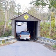
Bull's Bridge
United States of America

Bull's Bridge

7.8 mi
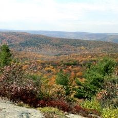
Mount Tom State Park
United States of America

Mount Tom State Park

4.2 mi
Macedonia Brook State Park
United States of America

Macedonia Brook State Park

8.2 mi
Milton Center Historic District
United States of America

Milton Center Historic District

6.6 mi
Cornwall Bridge
United States of America

Cornwall Bridge

8.4 mi
Above All State Park
United States of America

Above All State Park

2 mi
White Memorial Foundation
United States of America

White Memorial Foundation

7.6 mi
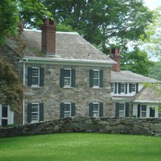
Hunt Hill Farm
United States of America

Hunt Hill Farm

4.3 mi
Flanders Historic District
United States of America

Flanders Historic District

5.7 mi
Mount Bushnell State Park
United States of America

Mount Bushnell State Park

0.6 mi
The Hollister Homestead
United States of America

The Hollister Homestead

7.2 mi
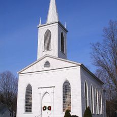
Trinity Church
United States of America

Trinity Church

7 mi
New Preston Hill Historic District
United States of America

New Preston Hill Historic District

1.7 mi
New Milford Center Historic District
United States of America

New Milford Center Historic District

8.5 mi
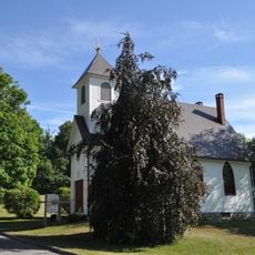
Merryall Union Evangelical Society Chapel
United States of America

Merryall Union Evangelical Society Chapel

4.6 mi
United States of America

Connecticut Antique Machinery Association

6.3 mi
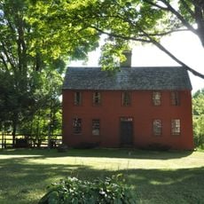
Capt. Philo Beardsley House
United States of America

Capt. Philo Beardsley House

1.6 mi
Henry B. Bissell House
United States of America

Henry B. Bissell House

7 mi
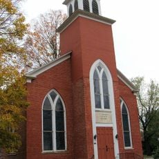
St. Andrew's Episcopal Church
United States of America

St. Andrew's Episcopal Church

2.5 mi
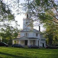
Washington Green Historic District
United States of America

Washington Green Historic District

5.6 mi
Calhoun-Ives Historic District
United States of America

Calhoun-Ives Historic District

3 mi
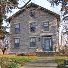
David Welch House
United States of America

David Welch House

7 mi
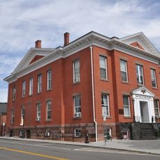
Town Hall and District School No. 6
United States of America

Town Hall and District School No. 6

8.4 mi
Lake Waramaug State Park
United States of America

Lake Waramaug State Park

1.2 mi
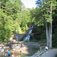
Kent Falls
United States of America

Kent Falls

5.9 mi
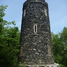
Mount Tom Tower
United States of America

Mount Tom Tower

4.5 mi
Show the full map
Reviews
Share your experience

No review yet

Discussions
Start a discussion...

No discussion yet

« Lake Waramaug - Lake in Litchfield County, Connecticut, United States » is provided by Around Us (aroundus.com). Images and texts are derived from Wikimedia project under a Creative Commons license. You are allowed to copy, distribute, and modify copies of this page, under the conditions set by the license, as long as this note is clearly visible.

Discover hidden gems everywhere you go!

From secret cafés to breathtaking viewpoints, skip the crowded tourist spots and find places that match your style. Our app makes it easy with voice search, smart filtering, route optimization, and insider tips from travelers worldwide. Download now for the complete mobile experience.
Around Us App Screenshot
❝

A unique approach to discovering new places❞

— Le Figaro

❝

All the places worth exploring❞

— France Info

❝

A tailor-made excursion in just a few clicks❞

— 20 Minutes

Around Us
Travel Guide & Maps
Download

Send to your phone

QR Code
1

Open the camera app on your mobile.

2

Point at the QR code with your camera. A notification will appear.

3

Tap the notification to open the link.