Knee Weakener, mountain in Utah, United States of America
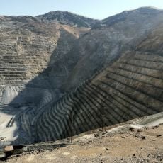
Bingham Canyon Mine
13.1 km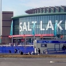
Maverik Center
17.6 km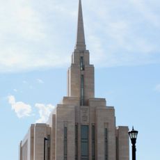
Oquirrh Mountain Utah Temple
16.3 km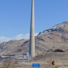
Kennecott Smokestack
10.3 km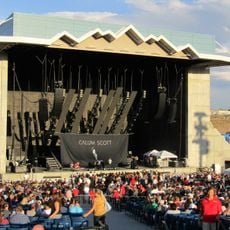
USANA Amphitheatre
9.2 km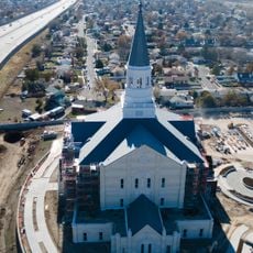
Taylorsville Utah Temple
16.1 km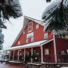
Gardner Village
18.7 km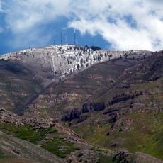
Farnsworth Peak
5.5 km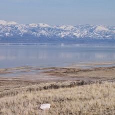
Great Salt Lake State Park
11.9 km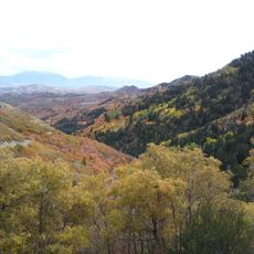
Butterfield Canyon
15.2 km
Black Rock
12 km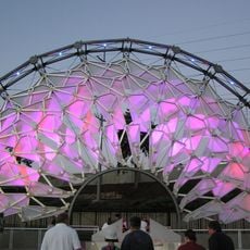
Hoberman Arch
19.8 km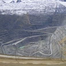
Bingham Canyon Reclamation Project
13.1 km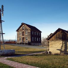
Benson Grist Mill
13.2 km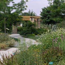
Conservation Garden Park
18.6 km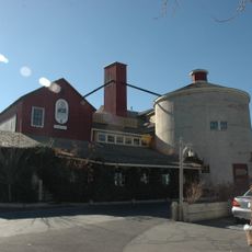
Gardner Mill
18.8 km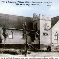
Murray LDS Second Ward Meetinghouse
20.6 km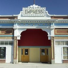
Empress Theatre
8.4 km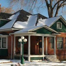
Murray Downtown Residential Historic District
21.5 km
John P. Cahoon House
21.5 km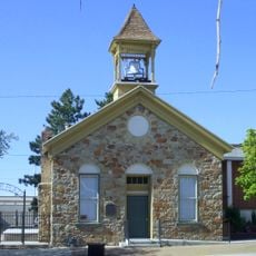
Tooele County Courthouse and City Hall
17.9 km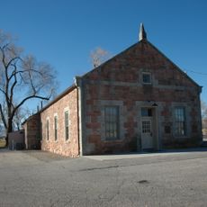
West Jordan Ward Meetinghouse
18.7 km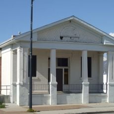
Tooele Carnegie Library
17.9 km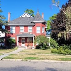
Peter Clegg House
17.9 km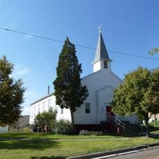
Copperton Community Methodist Church
9.4 km
Utah Bit and Mine
19.3 km
The Canyon
20.9 km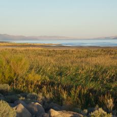
Sunset Beach
11.9 kmReviews
Visited this place? Tap the stars to rate it and share your experience / photos with the community! Try now! You can cancel it anytime.
Discover hidden gems everywhere you go!
From secret cafés to breathtaking viewpoints, skip the crowded tourist spots and find places that match your style. Our app makes it easy with voice search, smart filtering, route optimization, and insider tips from travelers worldwide. Download now for the complete mobile experience.

A unique approach to discovering new places❞
— Le Figaro
All the places worth exploring❞
— France Info
A tailor-made excursion in just a few clicks❞
— 20 Minutes