Log in to your account

AroundUs is a community-driven map of interesting places, built by curious explorers like you. It grows with every review, story, and photo you share.
Connect to save your favorite spots, contribute locations, and create personalized routes.
Continue with Google
Continue with Apple
Continue with X
Continue with Facebook
Continue with email
By continuing, you accept our Terms and Conditions and our Privacy Policy
Create an account

Selma to Montgomery National Historic Trail

Add to collection
Map
Suggest a change
Share

Selma to Montgomery National Historic Trail, Civil Rights Movement trail between Selma and Montgomery, Alabama, US

The Selma to Montgomery National Historic Trail is a 54-mile route running from Brown Chapel A.M.E. Church in Selma to the Alabama State Capitol in Montgomery, connecting major historical sites and several visitor centers. The path follows the original route that thousands of demonstrators walked about 60 years ago and displays the monuments and memorials that stand along this important journey.

The trail marks the famous 1965 march when activists walked from Selma to Montgomery demanding voting rights for Black Americans, encountering resistance at Edmund Pettus Bridge. These events ultimately led to new federal laws, including the Voting Rights Act of 1965.

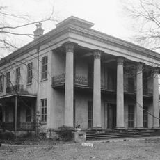
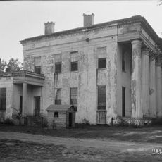
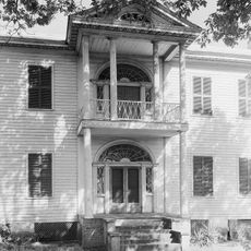
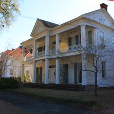
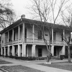
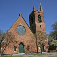
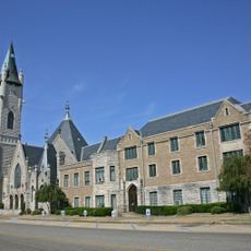
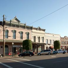
The trail connects important sites from the African American civil rights movement, where visitors today find monuments, memorials, and museums telling the story of the voting rights struggle. These locations serve as reminders of the people who fought for equality here.

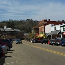
Visitors can obtain maps and information at the Selma Interpretive Center, located at the foot of Edmund Pettus Bridge, where daily resources are available. The trail is well-marked, and visitors should wear sturdy shoes and bring water and sun protection depending on the season and weather.

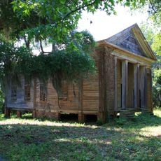
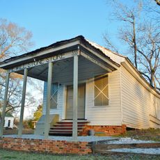
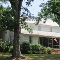
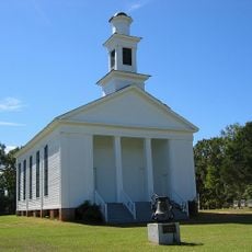
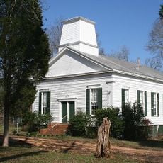
The trail incorporates multiple sites where demonstrators camped during their five-day journey, including land supported by sympathetic local African American residents. These stopping points tell stories of local solidarity and reveal how ordinary people helped sustain the movement from place to place.

Location: Lowndes County

Elevation above the sea: 67 m

Website: https://nps.gov/semo

GPS coordinates: 32.27083,-86.72833

Latest update: December 12, 2025 07:52

Photos
Around this place
Edmund Pettus Bridge
United States of America

Edmund Pettus Bridge

31.2 km
Brown Chapel A.M.E. Church
United States of America

Brown Chapel A.M.E. Church

31.3 km
National Voting Rights Museum
United States of America

National Voting Rights Museum

30.9 km
Sturdivant Hall
United States of America

Sturdivant Hall

32.4 km
Adams Grove Presbyterian Church
United States of America

Adams Grove Presbyterian Church

28.4 km
Calhoun Colored School
United States of America

Calhoun Colored School

29.1 km
Meadowlawn Plantation
United States of America

Meadowlawn Plantation

11.1 km
Stone Plantation
United States of America

Stone Plantation

29.9 km
Bell House
United States of America

Bell House

32.5 km
Daniel Pratt Historic District
United States of America

Daniel Pratt Historic District

32.1 km
First Baptist Church
United States of America

First Baptist Church

31.6 km
Riverdale (Selma, Alabama)
United States of America

Riverdale (Selma, Alabama)

22.5 km
Joseph T. Smitherman Historic Building
United States of America

Joseph T. Smitherman Historic Building

31.7 km
John Tyler Morgan House
United States of America

John Tyler Morgan House

32.3 km
Lowndesboro Historic District
United States of America

Lowndesboro Historic District

11.9 km
Wesley Plattenburg House
United States of America

Wesley Plattenburg House

31.9 km
St. Paul's Episcopal Church
United States of America

St. Paul's Episcopal Church

31.6 km
Lassiter House
United States of America

Lassiter House

23.5 km
Old Town Historic District
United States of America

Old Town Historic District

32 km
United States Post Office Building
United States of America

United States Post Office Building

31.4 km
Lowndes County Courthouse
United States of America

Lowndes County Courthouse

17.2 km
R.E. "Bob" Woodruff Lake
United States of America

R.E. "Bob" Woodruff Lake

8 km
Pleasant Hill Presbyterian Church
United States of America

Pleasant Hill Presbyterian Church

20.7 km
Summerfield District
United States of America

Summerfield District

31.1 km
J. Bruce Hain House
United States of America

J. Bruce Hain House

24.4 km
Water Avenue Historic District
United States of America

Water Avenue Historic District

31.1 km
Icehouse Historic District
United States of America

Icehouse Historic District

32.5 km
Riverview Historic District
United States of America

Riverview Historic District

32 km
Show the full map
Reviews

Visited this place? Tap the stars to rate it and share your experience / photos with the community! Try now! You can cancel it anytime.

« Selma to Montgomery National Historic Trail - Civil Rights Movement trail between Selma and Montgomery, Alabama, US » is provided by Around Us (aroundus.com). Images and texts are derived from Wikimedia project under a Creative Commons license. You are allowed to copy, distribute, and modify copies of this page, under the conditions set by the license, as long as this note is clearly visible.

Discover hidden gems everywhere you go!

From secret cafés to breathtaking viewpoints, skip the crowded tourist spots and find places that match your style. Our app makes it easy with voice search, smart filtering, route optimization, and insider tips from travelers worldwide. Download now for the complete mobile experience.

Around Us App Screenshot

A unique approach to discovering new places

Le Figaro

All the places worth exploring

France Info

A tailor-made excursion in just a few clicks

20 Minutes