Baghdad Governorate, Administrative province in central Iraq.
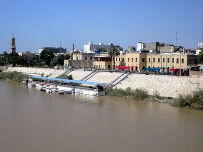
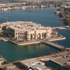
This province sits in central Iraq and includes the national capital plus surrounding neighborhoods, business districts, and farmland along the Tigris. The area divides into two main parts, Rusafa on the eastern bank and Karkh on the western bank, linked by several bridges.
The province gained its current administrative status in 1920 when the modern state was created after World War I. Before that, Ottoman authority governed the region for several centuries until the British mandate introduced a new order.
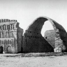
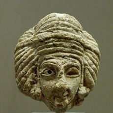
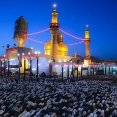
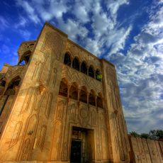
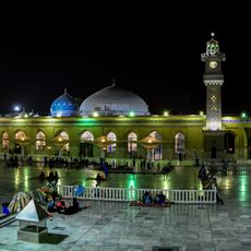
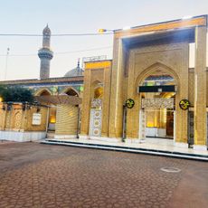
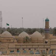
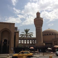
The name recalls the early medieval capital of the caliphate, and mosques, bazaars, and coffeehouses remain gathering points for trade and conversation. In many neighborhoods, the day begins early when bakeries bake fresh bread and streets fill with workers, students, and families organizing their daily routines.
Travelers can cross between the two main parts of the metropolis on several bridges over the Tigris, which are open to pedestrians, cars, and buses. During the day, main roads and markets see heavy traffic, so plan extra time for getting around.
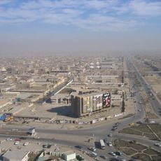
The area is the smallest province in the country by land size yet has the highest population density. This concentration makes it a crowded urban center where housing is tight and daily life unfolds in close quarters.
The community of curious travelers
AroundUs brings together thousands of curated places, local tips, and hidden gems, enriched daily by 60,000 contributors worldwide.