
Anta District, district of Peru
Location: Carhuaz Province
Capital city: Anta
Elevation above the sea: 2,424 m
Shares border with: Carhuaz District, Marcará District, Pariahuanca District, Yungar District, Pariacoto District
GPS coordinates: -9.35769,-77.59804
Latest update: March 9, 2025 19:04
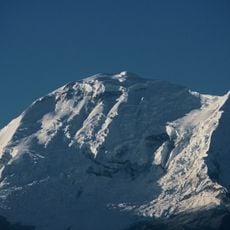
Huascarán
26.3 km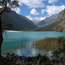
Huascarán National Park
21.1 km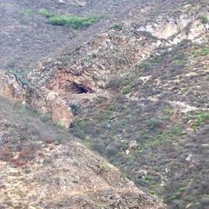
Guitarrero Cave
20.8 km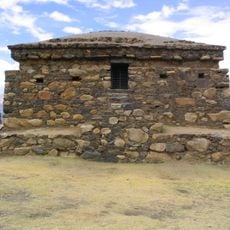
Willkawayin
16.9 km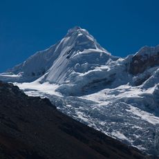
Tocllaraju
22.1 km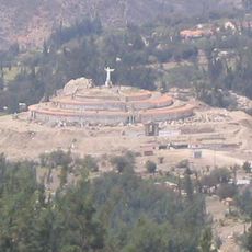
Cristo de Yungay
27.5 km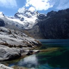
Churup
23.6 km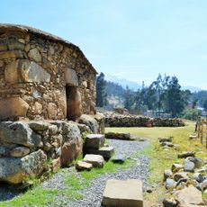
Waullac
20.7 km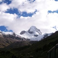
Ulta
23.4 km
Copa
16.1 km
Rima Rima
19.9 km
Vicos
14.1 km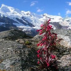
Hualcán
19.3 km
Ranrapalca
20.8 km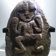
Archaeological Museum of Ancash
20.6 km
Llaca Glacier
19.4 km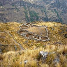
Huajramarca
27.2 km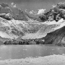
Palcaraju
25 km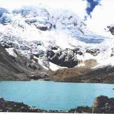
Pucaranra
27.4 km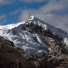
Ishinca
21.4 km
Urus
17.8 km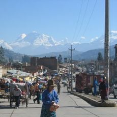
Chequiaraju
21.1 km
Iglesia de Nuestra Señora de Belén
21 km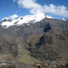
Tarushcancha
24 km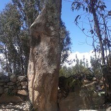
Huancajirca
19.8 km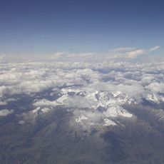
Pucagaga Punta
23.9 km
Sala de exhibición del Monumento Arqueológico de Willkawaín
16.9 km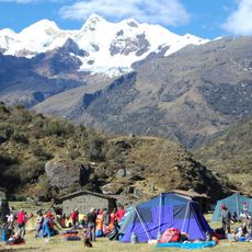
Bajorahu
19.2 kmReviews
Visited this place? Tap the stars to rate it and share your experience / photos with the community! Try now! You can cancel it anytime.
Discover hidden gems everywhere you go!
From secret cafés to breathtaking viewpoints, skip the crowded tourist spots and find places that match your style. Our app makes it easy with voice search, smart filtering, route optimization, and insider tips from travelers worldwide. Download now for the complete mobile experience.

A unique approach to discovering new places❞
— Le Figaro
All the places worth exploring❞
— France Info
A tailor-made excursion in just a few clicks❞
— 20 Minutes