
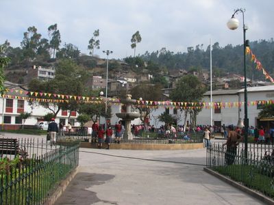
San Jerónimo District, district in Andahuaylas Province, Peru
Location: Andahuaylas Province
Capital city: San Jerónimo
Elevation above the sea: 2,944 m
Shares border with: Pacucha District, Kishuara District, Tintay District, San Juan de Chacña District, Lucre District, José María Arguedas District, Andahuaylas District
GPS coordinates: -13.65111,-73.36500
Latest update: June 15, 2025 14:29
Vilcabamba
85.1 km
Choquequirao
60.5 km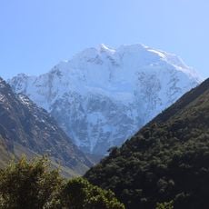
Salcantay
95.4 km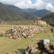
Vitcos
77.3 km
Sayhuite
61.9 km
Llaqtapata
99.6 km
Ampay National Sanctuary
52 km
Suntur
11.5 km
Titankayuq
67.6 km
Puente Pachachaca
46.3 km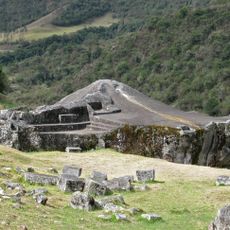
Ñusta Hisp'ana
76.7 km
Cañón del Apurímac
63.2 km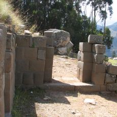
Inti Watana, Ayacucho
70.2 km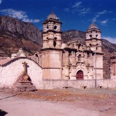
Sanctuary of Our Lady of Cocharcas
40.8 km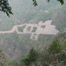
Choquequirao Regional Conservation Area
60.5 km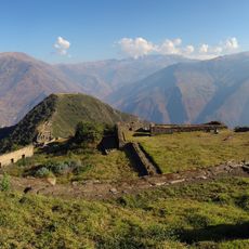
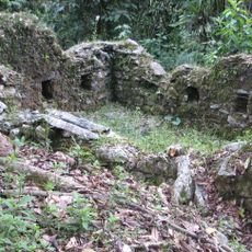
Inka Wasi (Apurímac)
59.3 km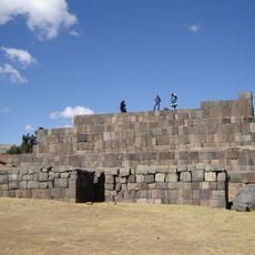
Usnu, Ayacucho
63.8 km
Ampay
48.2 km
Yanaca
67.6 km
Ccarhuarazo
87.1 km
Pumasillo
74.2 km
Iglesia San Juan Bautista de Vilcashuamán
63.7 km
Campanayuq Rumi
62.8 km
Virgin of the Rosary Cathedral, Abancay
52.7 km
Huaca Curamba
25.2 km
Hatun Q'asa
94.7 km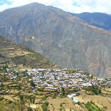
Tawlli Urqu
98.9 km
Sacsarayoc
74.1 kmReviews
Visited this place? Tap the stars to rate it and share your experience / photos with the community! Try now! You can cancel it anytime.
Discover hidden gems everywhere you go!
From secret cafés to breathtaking viewpoints, skip the crowded tourist spots and find places that match your style. Our app makes it easy with voice search, smart filtering, route optimization, and insider tips from travelers worldwide. Download now for the complete mobile experience.

A unique approach to discovering new places❞
— Le Figaro
All the places worth exploring❞
— France Info
A tailor-made excursion in just a few clicks❞
— 20 Minutes