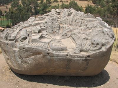
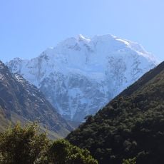
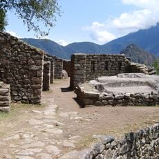
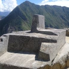
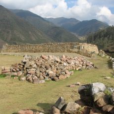
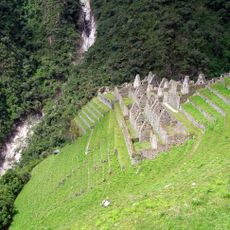
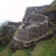
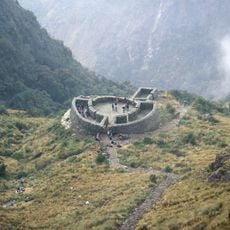
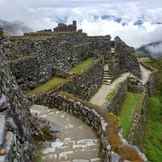
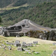
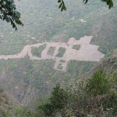
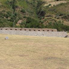
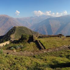
Sayhuite, Archaeological site in Curahuasi District, Peru.
Sayhuite is a stone monument with over 200 animal and geometric shapes carved deeply into granite located on a hilltop. The carvings form an intricate system of channels, basins, and pathways that show the ancient knowledge of managing water and land.
The monument was created by early mountain cultures, likely during the Inca period or before, to display their water management technology. It survived the Spanish conquest and remains a testimony to their advanced understanding of the landscape.
The carvings tell the story of how ancient mountain communities understood water, farming, and their relationship with the land. These images show what mattered to them in their daily lives and spiritual beliefs.
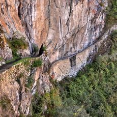
The terrain is rough and requires sturdy footwear for the climb to the hilltop. Visitors should come early in the day when the light is better for seeing the carved details clearly.
Beneath the stone surface lies a hidden network of wells, channels, and passages that connect to a nearby ancient city underground. This subterranean structure remained largely unknown until recent study began revealing its true complexity.
Location: Curahuasi District
Location: Abancay Province
GPS coordinates: -13.54734,-72.80296
Latest update: December 6, 2025 16:03
This collection shows archaeological sites built by Inca culture across Peru, Bolivia, and Argentina. At these places you will find terraces, temples, fortresses, burial grounds, and structures aligned with the stars, all revealing the building skills of this pre-Columbian civilization. The sites...
Machu Picchu
51.1 km
Historic Sanctuary of Machu Picchu
53.5 km
Choquequirao
18.6 km
Salcantay
36.6 km
Intipuncu
51.1 km
Intihuatana, Urubamba
51.1 km
Inca Bridge
50.4 km
Vitcos
51.3 km
Wiñay Wayna
48.9 km
Llaqtapata
47.6 km
Ampay National Sanctuary
10.1 km
Suntur
50.8 km
Puyupatamarca
48 km
Runkuraqay
48.2 km
Puente Pachachaca
19.5 km
Sayacmarca
47.1 km
Ñusta Hisp'ana
50.2 km
Cañón del Apurímac
14 km
Choquequirao Regional Conservation Area
18.5 km
Tarahuasi
40.6 km
Inka Wasi (Apurímac)
12.7 km
Ampay
13.8 km
Pumasillo
33.3 km
Virgin of the Rosary Cathedral, Abancay
12.9 km
Huaca Curamba
36.7 km
Hatun Q'asa
34.7 km
Sacsarayoc
33.4 km
Photowalk in Choquequirao de Pariachi taller antropología unmsm
18.6 kmVisited this place? Tap the stars to rate it and share your experience / photos with the community! Try now! You can cancel it anytime.
Discover hidden gems everywhere you go!
From secret cafés to breathtaking viewpoints, skip the crowded tourist spots and find places that match your style. Our app makes it easy with voice search, smart filtering, route optimization, and insider tips from travelers worldwide. Download now for the complete mobile experience.
A unique approach to discovering new places❞
— Le Figaro
All the places worth exploring❞
— France Info
A tailor-made excursion in just a few clicks❞
— 20 Minutes