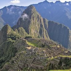
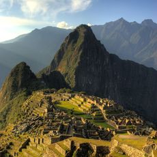
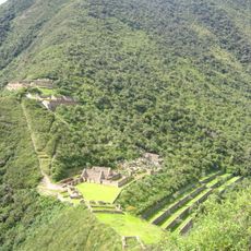
Choquequirao Regional Conservation Area, Protected natural area in Cusco Region, Peru
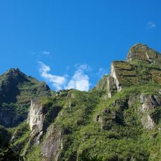
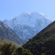
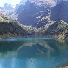
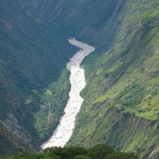
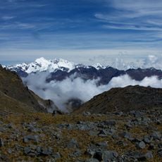
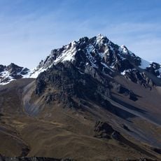
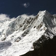
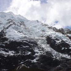
Choquequirao Regional Conservation Area spans about 103,814 hectares across a range of elevations, starting at 1,800 meters and rising to the snow-covered Nevado Salkantay peak above 6,000 meters. The territory includes steep mountain slopes, deep river valleys, and diverse forest types that shift with elevation.
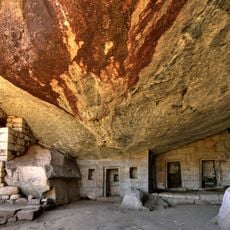
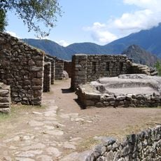
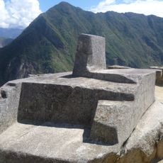
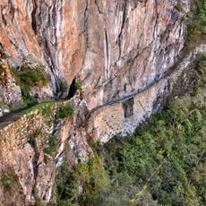
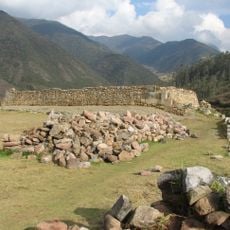
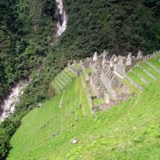
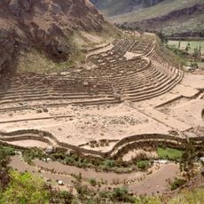
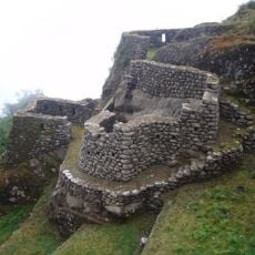
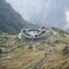
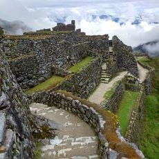
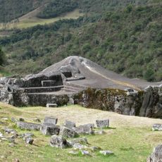
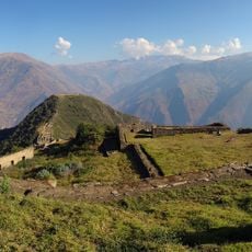
The area was created on 23 December 2010 by Supreme Decree No. 022-2010-MINAM, with the Regional Government of Cusco as the responsible authority. It is managed as an IUCN Category VI protected area, combining nature conservation with sustainable use. Within its southern edge lies the archaeological site of Choquequirao and the Inca road leading to it.
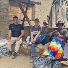
The local communities practice traditional ways of life that have been passed down through generations in the surrounding villages. Visitors can observe these customs along the trekking routes, where people still use natural resources in time-honored ways.
The main access route to Choquequirao starts at Cachora, in the San Pedro de Cachora district of Abancay province, Apurímac; other approaches run through Santa Teresa and Mollepata. The protected area stretches from the Apurímac canyon up to the summit of Nevado Salkantay, the highest point of the Vilcabamba range, so trails climb through several climate zones.
The area is home to sixteen bird species found nowhere else in the world, making it a rare hotspot for endemic wildlife. Andean bears, among the region's rarest mammals, also inhabit the mountain forests here.
The community of curious travelers
AroundUs brings together thousands of curated places, local tips, and hidden gems, enriched daily by 93,299 contributors worldwide.