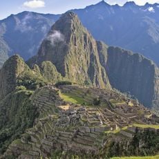
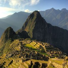
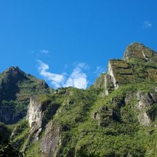
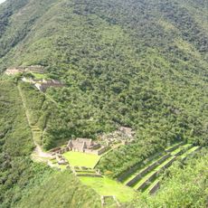
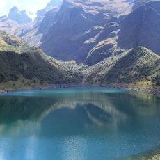
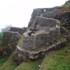
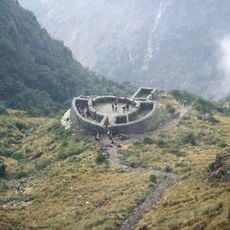
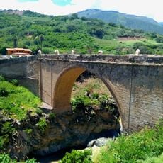
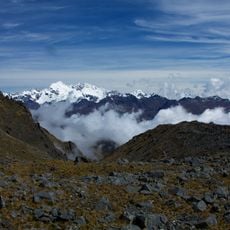
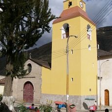
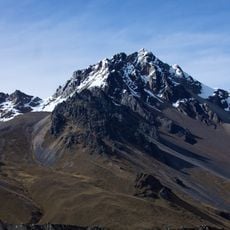
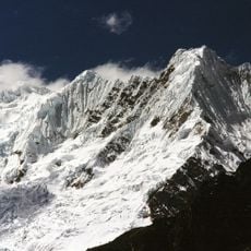
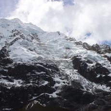
Cañon d'Apurimac, Natural canyon between Apurímac and Cuzco Departments, Peru
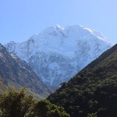
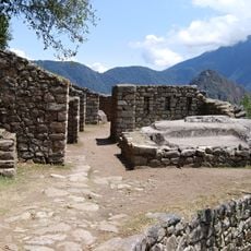
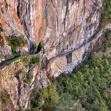
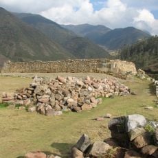
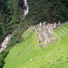
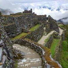
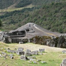
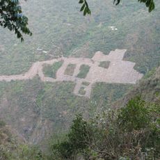
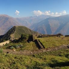
Cañón del Apurímac is a gorge cut by the Apurímac River, which forms the natural boundary between the Apurímac and Cusco departments. Its basin covers 350 km² and its depth reaches 4,691 m, with slopes dropping from about 5,000 m to 500 m. The Vilcabamba range surrounds it, and the Choquequirao archaeological complex lies under 5 km away on the Cusco side.
The river originates at Mount Mismi at approximately 5,597 meters elevation and flows through several regions. It eventually merges with the Mantaro River to form the Ene River, a major waterway system in the southern Andes.
The name comes from Quechua words: Apu means mountain spirits and Rimac means speaking, referring to the river's roaring sound. Local communities have long regarded this river as a sacred force connected to their mountain heritage.
The canyon lies about 90 km from Abancay, with the Apurímac forming the boundary between the Apurímac and Cuzco departments. The Choquequirao archaeological complex sits under 5 km away on the Cuzco side. The Apurímac River is suited to canoeing, and trails around the canyon are used for trekking.
The surrounding forests contain three distinct Polylepis tree species, which are rare at high Andean elevations. These trees provide habitat for several bird species found nowhere else in the region.
The community of curious travelers
AroundUs brings together thousands of curated places, local tips, and hidden gems, enriched daily by 92,622 contributors worldwide.