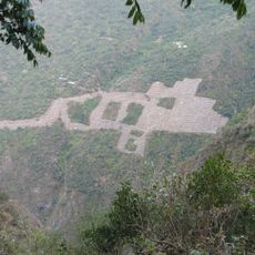
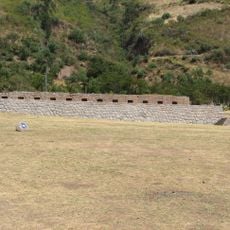
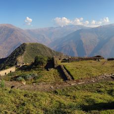
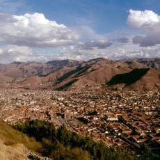
Curahuasi District, Administrative district in Abancay Province, Peru
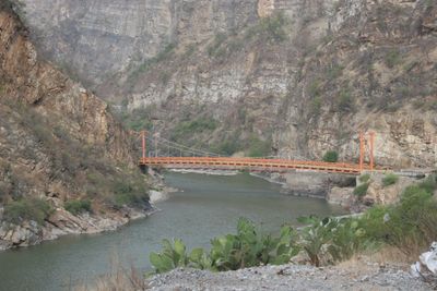
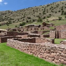
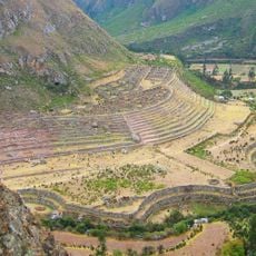
Curahuasi District is an administrative area in Abancay Province that spreads across hilly and mountainous terrain connecting several settlements. The region features a mix of rural villages and smaller centers set at high elevation.
The district was founded in 1857 and grew from indigenous settlements into an administrative center. Since then it has served as an important connection point between the Cusco and Apurímac regions.
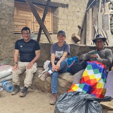
The people here speak Quechua as their main language and keep traditional ways of life that you see in daily activities and local celebrations. This language shapes how the community lives together and how they see themselves.
You can reach the district by bus from larger cities, with regular services connecting the villages. The terrain is steep, so travel takes longer than on flat ground.
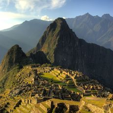
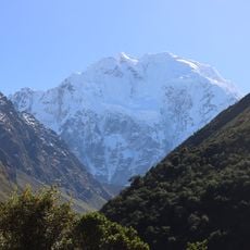
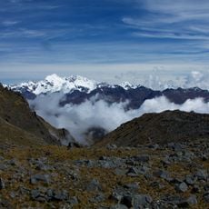
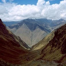
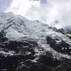
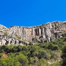
The area contains several high mountain peaks and experiences big temperature swings between seasons. These elevation changes have a strong effect on the climate and landscape.
Location: Abancay Province
Capital city: Curahuasi
Elevation above the sea: 2,688 m
Shares border with: Mollepata District, Limatambo District, Chinchaypujio District, Cotabambas District, Coyllurqui District, Mariscal Gamarra District, Lambrama District, Abancay District, Tamburco District, San Pedro de Cachora District
GPS coordinates: -14.06200,-72.67000
Latest update: December 8, 2025 13:44
Historic Sanctuary of Machu Picchu
105.7 km
Choquequirao
77.4 km
Salcantay
82.3 km
Sayhuite
59.1 km
Ampay National Sanctuary
58.8 km
Suntur
82.2 km
Puente Pachachaca
53 km
Sayacmarca
94.3 km
Cañón del Apurímac
73.1 km
Choquequirao Regional Conservation Area
77.4 km
Tarahuasi
70.7 km
Inka Wasi (Apurímac)
71.4 km
Ampay
62.7 km
Yanaca
53.7 km
Mawk'allaqta
85.6 km
Pumasillo
91.9 km
Cusichaca River
96.6 km
Virgin of the Rosary Cathedral, Abancay
52.4 km
Huaca Curamba
70.5 km
Anahuarque
94.2 km
Mount Wayanay
87.7 km
Hatun Q'asa
78.5 km
Sacsarayoc
92.1 km
Velille River
82.9 km
Vilcabamba River
55.1 km
Photowalk in Choquequirao de Pariachi taller antropología unmsm
77.5 km
Nevado Humantay
77.7 km
Mirador del Sol
88.4 kmVisited this place? Tap the stars to rate it and share your experience / photos with the community! Try now! You can cancel it anytime.
Discover hidden gems everywhere you go!
From secret cafés to breathtaking viewpoints, skip the crowded tourist spots and find places that match your style. Our app makes it easy with voice search, smart filtering, route optimization, and insider tips from travelers worldwide. Download now for the complete mobile experience.
A unique approach to discovering new places❞
— Le Figaro
All the places worth exploring❞
— France Info
A tailor-made excursion in just a few clicks❞
— 20 Minutes