
Chiguata District, district in Arequipa, Peru
Location: Arequipa Province
Capital city: Chiguata
Elevation above the sea: 2,946 m
Shares border with: Characato District, Sabandía District, Paucarpata District, Mariano Melgar District, Miraflores District, San Juan de Tarucani District
GPS coordinates: -16.40000,-71.40000
Latest update: March 10, 2025 16:25
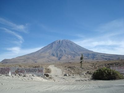
El Misti
11.2 km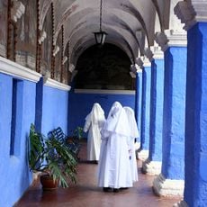
Santa Catalina Monastery
14.6 km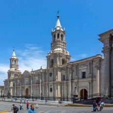
Plaza de Armas of Arequipa
14.6 km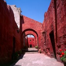
Historic Centre of Arequipa
14.4 km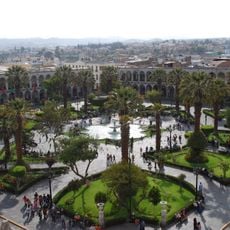
Arequipa District
14.8 km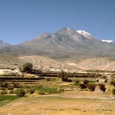
Chachani
26.9 km
Pichu Pichu
17.5 km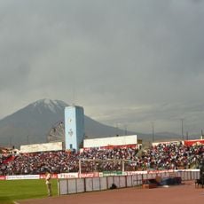
Estadio Mariano Melgar
14.5 km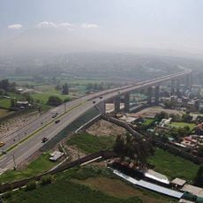
Chilina Bridge
14.5 km
Hospital Goyeneche
13.6 km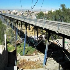
Puente de Fierro
15.9 km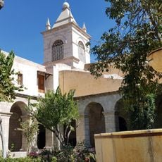
Saint Teresa Monastery
14 km
Goyeneche Palace, Arequipa
18.1 km
Museo Santuarios Andinos
14.7 km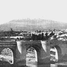
Puente Bolognesi
15.2 km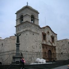
Basilica and Convent of San Francisco de Arequipa
14.4 km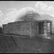
Harvard Observatory, Arequipa
16.2 km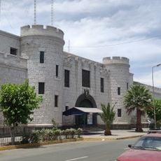
La Cárcel de Siglo XX
13.9 km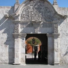
Casa del Moral
14.7 km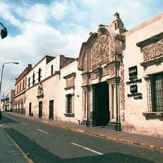
Casona Tristán del Pozo
14.5 km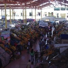
Mercado San Camilo
14.4 km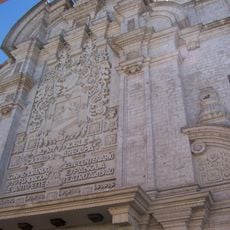
Teatro Municipal, Arequipa
14.3 km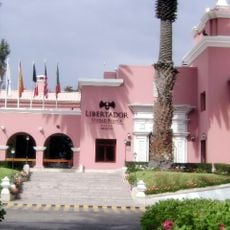
Hotel de turistas de Arequipa
14.2 km
Calle Mercaderes
14.4 km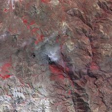
Pachakutiq (Arequipa-Moquegua)
38.2 km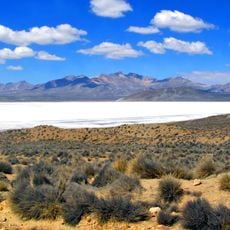
Takuni
29 km
Santa Teresa
14 km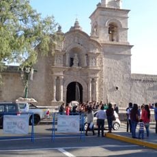
Iglesia San Juan Bautista de Yanahuara
15.2 kmReviews
Visited this place? Tap the stars to rate it and share your experience / photos with the community! Try now! You can cancel it anytime.
Discover hidden gems everywhere you go!
From secret cafés to breathtaking viewpoints, skip the crowded tourist spots and find places that match your style. Our app makes it easy with voice search, smart filtering, route optimization, and insider tips from travelers worldwide. Download now for the complete mobile experience.

A unique approach to discovering new places❞
— Le Figaro
All the places worth exploring❞
— France Info
A tailor-made excursion in just a few clicks❞
— 20 Minutes