Enable Location

We need your location to show you interesting places around you

Discover nearby places

Find interesting locations and hidden gems around you

Precise directions

Get accurate directions and distances to places

Your location is never shared with other users. It's only used when you tap the location button.

Khyber Pass

Log in to your account

Start exploring — it's free

Trusted by 67,480 travelers worldwide

Continue with Google
Continue with Apple
or

We will send you a code to connect

By continuing, you accept our Terms and Conditions and our Privacy Policy

Check your inbox

We've sent a pincode in your inbox. Please enter the code below.

Discussion Reviews 2 Photos
263k Popularity

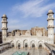
Khyber Pass, Mountain pass between Peshawar Valley and Landi Kotal, Pakistan.

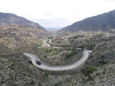
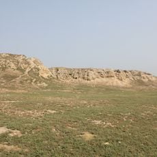
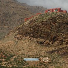
Khyber Pass is a mountain corridor through the Safed Koh range, connecting Peshawar Valley to Landi Kotal and extending for roughly 53 kilometers. The route winds through tight ravines with steep limestone walls that rise up to 300 meters in some sections.

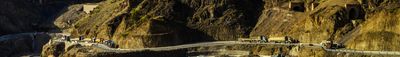
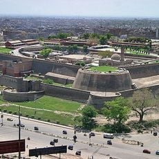
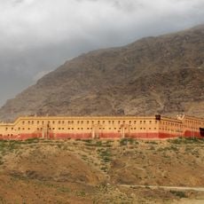
Caravans used this corridor for many centuries as part of the Silk Road, linking Central Asia to the Indian subcontinent. British colonial administration built a fortified roadway in the 19th century to ease military and commercial movement through the difficult terrain.

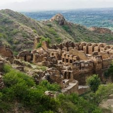
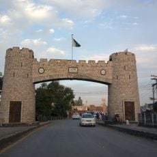
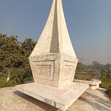
The name Khyber derives from the Persian word for fortress, pointing to the many fortifications that line the mountain route and remain visible today. Travelers often notice the stone watchtowers and guard posts that local communities have used and protected for centuries.

Visitors must apply for a special permit before any visit and check current security conditions for the border area between Pakistan and Afghanistan. The best time to travel falls in the milder months, as extreme temperatures and occasional closures can complicate crossing attempts.

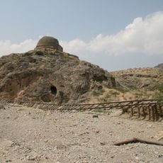
A railway line from 1925 winds through the entire length, crossing 34 tunnels and 92 bridges, making it one of the most technically demanding projects of its era. The track climbs on a tight spiral loop, overcoming extreme elevation changes over short distances.

The community of curious travelers

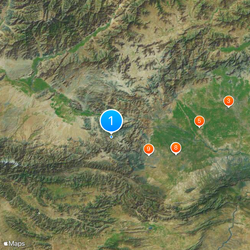
AroundUs brings together thousands of curated places, local tips, and hidden gems, enriched daily by 60,000 contributors worldwide.

Start exploring
Elevation above the sea
1,072 m
GPS coordinates
34.11000,71.11167
Latest update
December 12, 2025 19:57
Reviews
Share your experience

No review yet

Discussions
Start a discussion...

No discussion yet

« Khyber Pass - Mountain pass between Peshawar Valley and Landi Kotal, Pakistan » is provided by Around Us (aroundus.com). Images and texts are derived from Wikimedia project under a Creative Commons license. You are allowed to copy, distribute, and modify copies of this page, under the conditions set by the license, as long as this note is clearly visible.

Discover hidden gems everywhere you go!

From secret cafés to breathtaking viewpoints, skip the crowded tourist spots and find places that match your style. Our app makes it easy with voice search, smart filtering, route optimization, and insider tips from travelers worldwide. Download now for the complete mobile experience.

Around Us App Screenshot

A unique approach to discovering new places

Le Figaro

All the places worth exploring

France Info

A tailor-made excursion in just a few clicks

20 Minutes

Around Us
Travel Guide & Maps
Download

Send to your phone

QR Code
1

Open the camera app on your mobile.

2

Point at the QR code with your camera. A notification will appear.

3

Tap the notification to open the link.