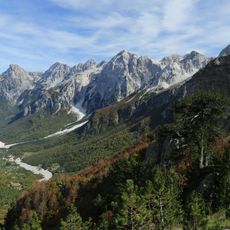
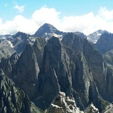
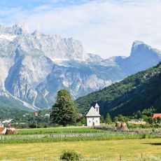
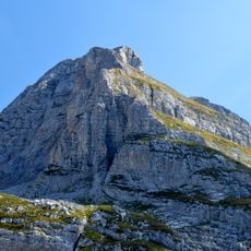
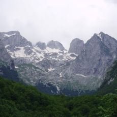
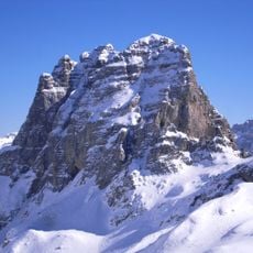
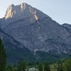
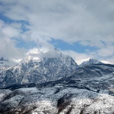
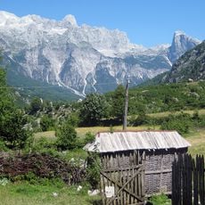
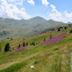
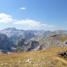
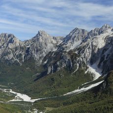
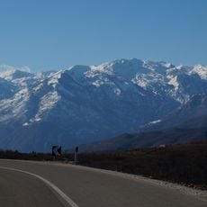
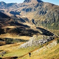
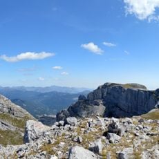
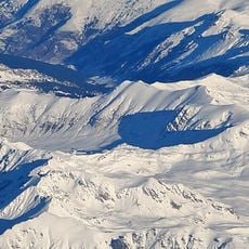
Kolata e Mirë, Mountain summit at Albania-Montenegro border
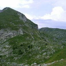
Dobra Kolata (Albanian: Kolata e Mirë) is a 2,528 m peak of the Kolata massif in the Accursed Mountains, on the Albania-Montenegro border. It stands about half a kilometre northeast of Zla Kolata (2,534 m), the higher of the two border peaks; the massif's highest point, Rodi e Kollatës (2,552 m), lies entirely in Albanian territory.
Dobra Kolata is one of the two peaks of the Kolata massif on the Albania-Montenegro border, half a kilometre northeast of Zla Kolata. The massif's highest point, Rodi e Kollatës at 2,552 m, lies entirely in Albanian territory, while Zla Kolata at 2,534 m is Montenegro's highest summit. Dobra Kolata belongs to Prokletije National Park on the Montenegrin side.
The name Kolata appears in both Albanian (Kolata e Mirë, "good kolata") and Serbian (Dobra Kolata), and the paired peaks are distinguished as good and bad: Zla Kolata, 2,534 m, lies half a kilometre southwest. The massif sits within Prokletije National Park on the Montenegrin side, and the three-peak group is shared between Albania and Montenegro.
The ascent requires technical climbing skills and specialized equipment due to vertical rock faces and exposed sections. Visitors should expect challenging conditions and changeable weather, since the summit sits where different climate zones meet.
The Kolata massif has three summits: Dobra Kolata at 2,528 m, Zla Kolata at 2,534 m half a kilometre southwest, and Rodi e Kollatës at 2,552 m, the highest, lying entirely in Albania. Zla Kolata is Montenegro's highest peak, Dobra Kolata its second.
The community of curious travelers
AroundUs brings together thousands of curated places, local tips, and hidden gems, enriched daily by 93,790 contributors worldwide.