Tirana plain, Geographical formation in central Albania.
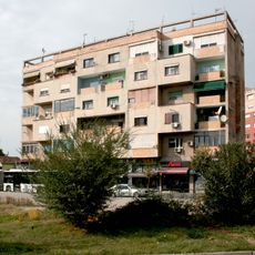
The Tirana plain is a flat geographical formation in central Albania that spreads between Mount Dajti to the east and the Kërrabe, Sauk, and Vaqarr hills to the south. This natural basin sits about 110 meters above sea level and forms one of the region's most important landscapes.
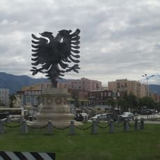
People settled in this area as far back as the Iron Age, drawn by the fertile soil and proximity to the sea. The Ottomans later used the plain as a strategic place for settlements and trade.
The plain has shaped how people settle and grow food for centuries. Farming communities developed naturally in this basin, using the flat land between the mountains and lower areas.
The plain is flat and easy to walk through, making it good for exploring on foot. The best time to visit is during cooler months when the heat is less intense.
Despite its flat appearance, the plain contains hidden elevation changes that create different climates and plant types in a small area. This ecological variety is not obvious at first glance but enriches the region's nature.
The community of curious travelers
AroundUs brings together thousands of curated places, local tips, and hidden gems, enriched daily by 60,000 contributors worldwide.