Lesser Caucasus, Mountain range in Southern Caucasus, Armenia
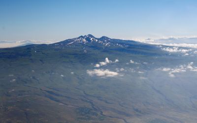
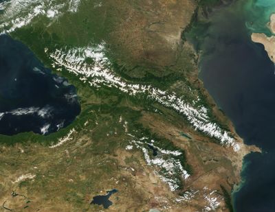
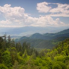
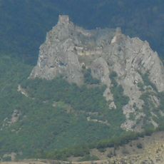
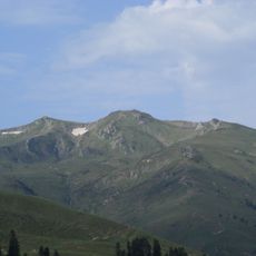
The Lesser Caucasus is a mountain range stretching roughly 600 kilometers across Armenia, Azerbaijan, and Georgia with highly varied terrain throughout. Its peaks rise to around 4,000 meters (13,000 feet) and form natural boundaries between the countries.
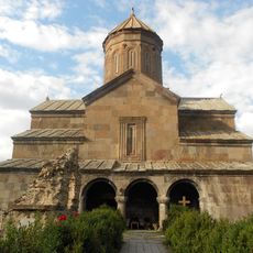
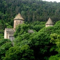
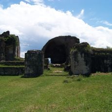
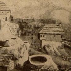
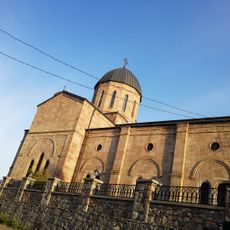
The mountain range was historically called Anticaucasus and has served as a natural dividing line between different peoples and kingdoms for many centuries. It played a central role in shaping regional politics and trade routes throughout history.
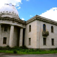
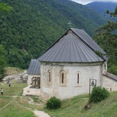
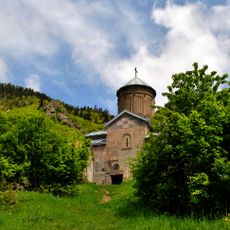
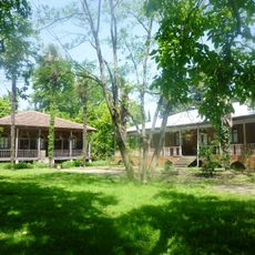
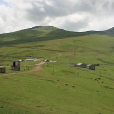
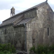
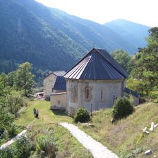
Several ethnic communities have called these mountains home for centuries, each shaping the landscape through their own farming traditions and settlement patterns. Walking through the villages, you notice how people have adapted their daily life to the steep terrain and seasonal changes.
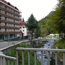
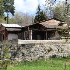
Most visitors reach the mountains through regular bus services to nearby towns such as Gyumri and Vanadzor in the area. You will find lodging and local services concentrated in these main towns rather than high in the mountains themselves.
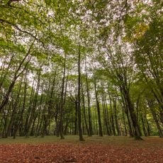
The range contains an extensive network of rivers including the Kura and Aras that flow through different elevation zones and create distinct ecological habitats. These river valleys support wildlife and plant species rarely seen together in other places.
The community of curious travelers
AroundUs brings together thousands of curated places, local tips, and hidden gems, enriched daily by 60,000 contributors worldwide.