
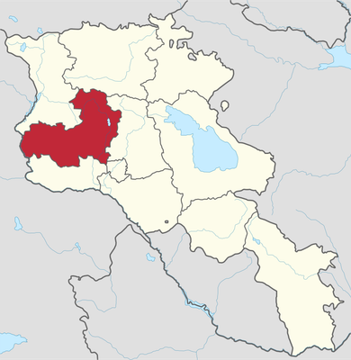
Getap, village in Aragatsotn Province of Armenia
Location: Aragatsotn Region
Elevation above the sea: 1,315 m
Website: http://aragatsotn.mtad.am/about-communities/829
GPS coordinates: 40.38722,43.62167
Latest update: March 4, 2025 06:36
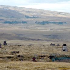
Ani
14 km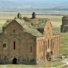
Cathedral of Ani
13.9 km
Bagaran
21 km
Yereruyk Basilica
6 km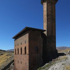
Menüçehr Mosque
13.8 km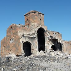
Cathedral of Mren
16.5 km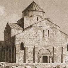
Tekor Basilica
17.6 km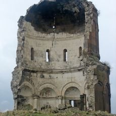
Church of the Holy Redeemer of Ani
13.9 km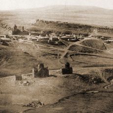
Horomos
14.8 km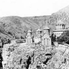
Khtzkonk Monastery
20.8 km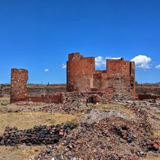
Dashtadem Fortress
20.7 km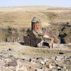
Church of Saint Gregory of Tigran Honents
13.7 km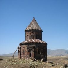
Church of Saint Gregory of Abughamrents
14.1 km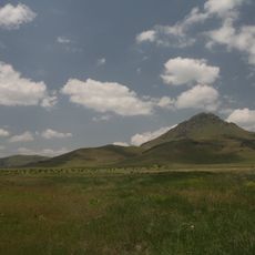
Arteni
14 km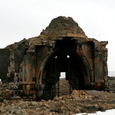
Church of the Holy Apostles of Ani
14.2 km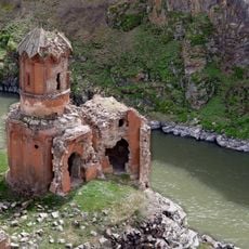
Monastery of the Virgins
13.6 km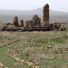
Church of Saint Gregory of Gagkashen
14.4 km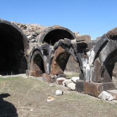
Caravanserai in Jrapi
19.6 km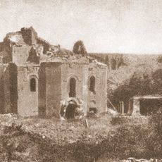
Bagaran
20.8 km
Zarnja Sourp Khach Armenian Church
17 km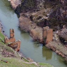
Silk Road Bridge, Ani
13.7 km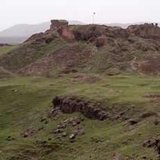
Citadel of Ani
13.5 km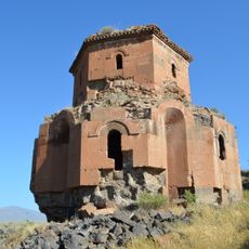
Holy Trinity Church
3.7 km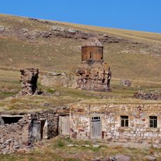
Bagnayr monastery
18.2 km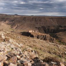
Maghasberd
11.8 km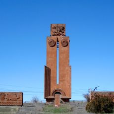
World war II memorial in Bagravan
10.9 km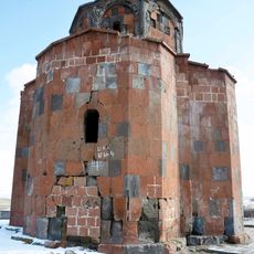
Red church Zarinja
17 km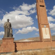
Հուշարձան` Երկրորդ աշխարհամարտում զոհվածներին
16.3 kmVisited this place? Tap the stars to rate it and share your experience / photos with the community! Try now! You can cancel it anytime.
Discover hidden gems everywhere you go!
From secret cafés to breathtaking viewpoints, skip the crowded tourist spots and find places that match your style. Our app makes it easy with voice search, smart filtering, route optimization, and insider tips from travelers worldwide. Download now for the complete mobile experience.

A unique approach to discovering new places❞
— Le Figaro
All the places worth exploring❞
— France Info
A tailor-made excursion in just a few clicks❞
— 20 Minutes