Futaleufú, comuna de Chile
The community of curious travelers
AroundUs brings together thousands of curated places, local tips, and hidden gems, enriched daily by 60,000 contributors worldwide.
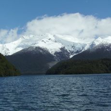
Los Alerces National Park
42.5 km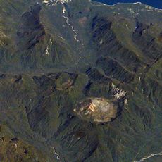
Chaitén
64.7 km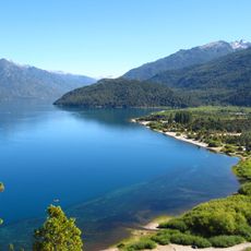
Lago Puelo National Park
114.2 km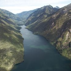
Pumalín Park
77.5 km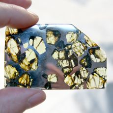
Esquel
63.1 km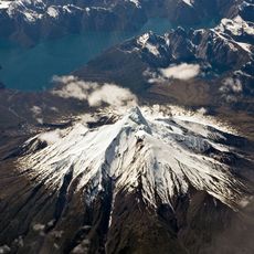
Corcovado Volcano
63.9 km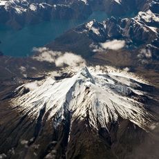
Corcovado National Park
63.2 km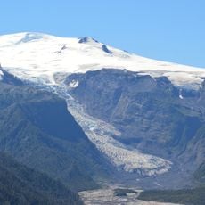
Michinmahuida
55.5 km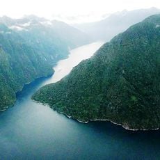
Quintupeu Fjord
117.1 kmComau Fjord
97.5 km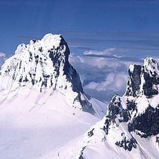
Cerro Melimoyu
121 km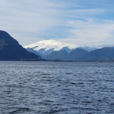
Melimoyu National Park
133.3 km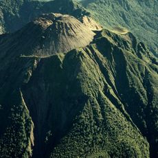
Volcán Huequi
100.6 km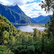
Parque Nacional Pumalín
42.8 km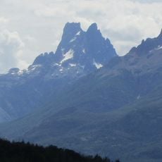
Cerro Dos Picos
82.8 km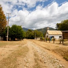
Segundo Corral
123.6 km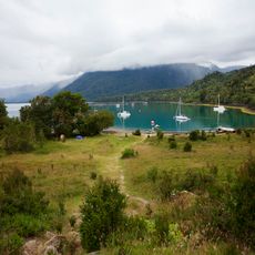
Porcelana
87.9 km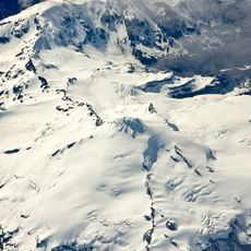
Yanteles
74.5 km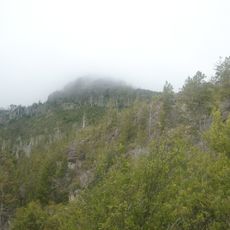
Cerro Currumahuida
81.8 km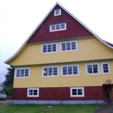
Casa Ludwig
134.8 km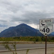
Cerro Pirque provincial park
122.4 km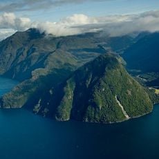
Reñihué Fjord
89.5 km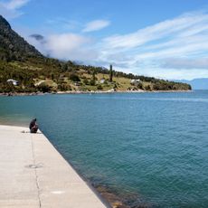
Caleta Pichanco
122.2 km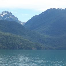
Cerro Aguja Sur
114.3 km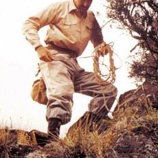
Cerro Situación
37.8 km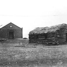
Capel Bethel, Trevelin
44.9 km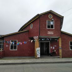
Museo Refugio de Navegantes
124 km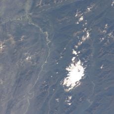
Palena Volcanic Group
76.4 kmDiscover hidden gems everywhere you go!
From secret cafés to breathtaking viewpoints, skip the crowded tourist spots and find places that match your style. Our app makes it easy with voice search, smart filtering, route optimization, and insider tips from travelers worldwide. Download now for the complete mobile experience.

A unique approach to discovering new places❞
— Le Figaro
All the places worth exploring❞
— France Info
A tailor-made excursion in just a few clicks❞
— 20 Minutes