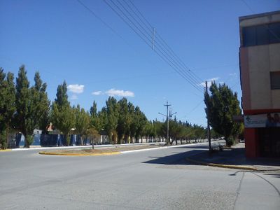
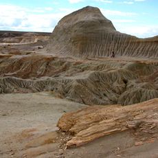
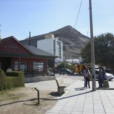
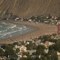
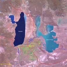
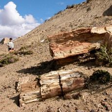
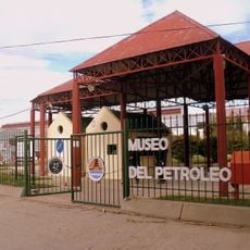
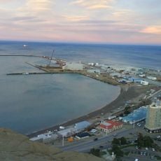
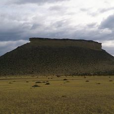
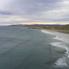
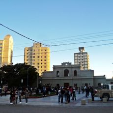
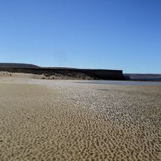
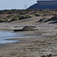
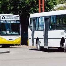
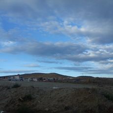
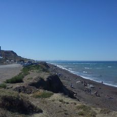
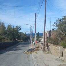
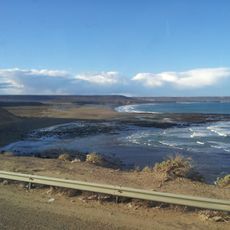
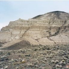
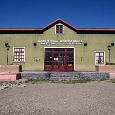
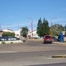
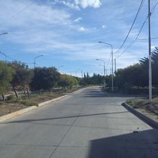
Sarmiento Department, in Chubut Province, Argentina
Location: Chubut Province
Capital city: Sarmiento
Elevation above the sea: 327 m
GPS coordinates: -45.58333,-69.08333
Latest update: May 7, 2025 15:26
Petrified Forest of José de Ormachea
24.6 km
Chenque Hill
128.3 km
Balneario Rada Tilly
125 km
Acueducto Lago Musters
126.2 km
Petrified Forest
25.9 km
Cine Teatro Español
128.1 km
Pico Salamanca
136 km
Museo Nacional del Petróleo
127.7 km
Puerto Comodoro Rivadavia
129.1 km
Cabo San Jorge Lighthouse
134.3 km
Playa La Herradura
124.5 km
Nature reserve Punta del Marqués
126.9 km
Humedal Caleta Olivia
153 km
Cerro Pan de Azúcar (Santa Cruz)
123.7 km
Playa Bonita
124.5 km
Teodoro Nürnberg Railway Port Museum
128.6 km
Playa Los Límites
124.5 km
Alsina beach
124.8 km
Autobuses Caleta Olivia
153.2 km
Barrio Rotary 23 (Caleta Olivia)
152.1 km
Playa Las Roquitas
153 km
Barrio Mar del Plata (Caleta Olivia)
153.1 km
Playa La Tranquera
125.4 km
Laguna Palacios Formation
80.3 km
Desiderio Torres Regional Museum
1.6 km
Barrio Mirador
152.9 km
Barrio Cesar Campos (Caleta Olivia)
152.9 km
Barrio Altos del Golfo (Caleta Olivia)
152.6 kmReviews
Visited this place? Tap the stars to rate it and share your experience / photos with the community! Try now! You can cancel it anytime.
Discover hidden gems everywhere you go!
From secret cafés to breathtaking viewpoints, skip the crowded tourist spots and find places that match your style. Our app makes it easy with voice search, smart filtering, route optimization, and insider tips from travelers worldwide. Download now for the complete mobile experience.
A unique approach to discovering new places❞
— Le Figaro
All the places worth exploring❞
— France Info
A tailor-made excursion in just a few clicks❞
— 20 Minutes