Chiloé National Park, National park in Dalcahue, Chile.
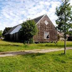
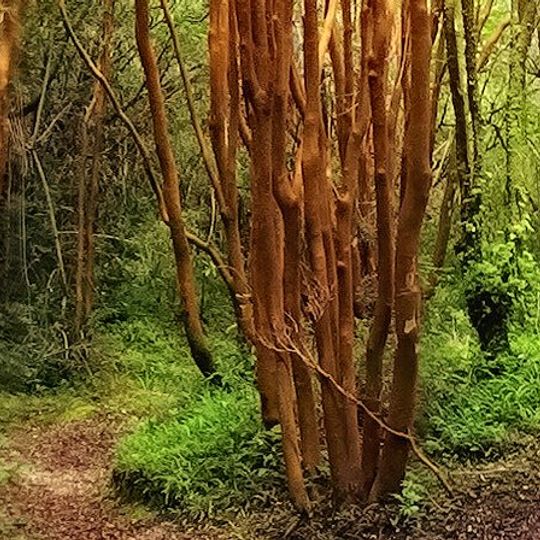
Chiloé National Park covers 430.57 km² of western Chiloé Island, split into the smaller Chepu sector in Ancud and the larger Anay sector across Dalcahue, Castro and Chonchi. Most of it lies in the Cordillera del Piuchén, with dunes, Valdivian rainforest, alerce stands and peat bogs. The photograph shows slender, reddish-brown trunks with pale horizontal marks rising from a grassy base beside a dirt path.
Chiloé National Park was created by Supreme Decree No. 734 in 1982, following the conflict over the Astillas de Chiloé project of the previous decade. Its area has since been reduced by more than 4,500 hectares, as Huilliche communities that had been included within the protected area could not exercise their property rights or legally harvest resources. The Huelde Lake area and coastal strips between Huentemó and the Colecole and Anay rivers were removed from the park and returned to community control.
The park overlaps land long used by Huilliche communities; sectors such as Lago Huelde near Chanquín and the coastal strips between Huentemó, the Colecole and Anay rivers were removed from the protected area so these communities could exercise ownership and resource use. Today CONAF and the indigenous communities run joint conservation and tourism projects in those declassified zones.
You can enter through the Cucao sector, where information centers and marked trails are available for visitors. The area is open year-round, though weather conditions vary significantly by season.
Metalqui, a 0.5 km² islet within the park, is the only marine sector of this otherwise forested protected area. The park's bird life earned it Important Bird Area status from BirdLife International, supporting Chilean pigeons, slender-billed parakeets, black-throated huet-huets and chucao tapaculos.
The community of curious travelers
AroundUs brings together thousands of curated places, local tips, and hidden gems, enriched daily by 92,648 contributors worldwide.