Chaitén, Chilean commune
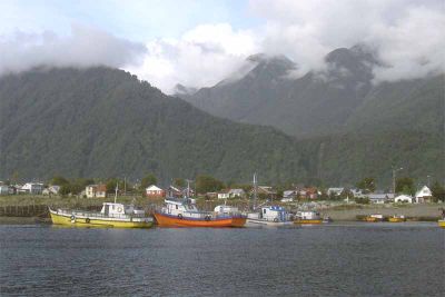
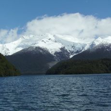
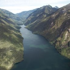
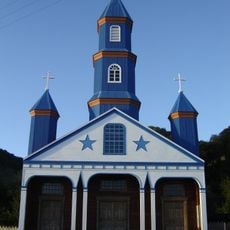
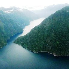
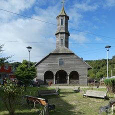
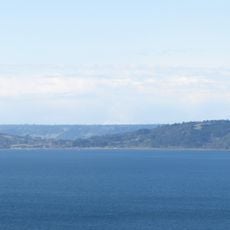
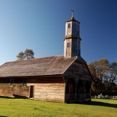
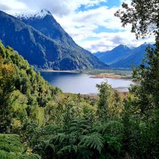
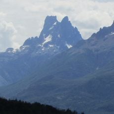
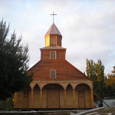
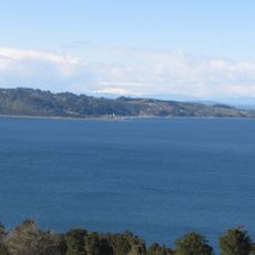
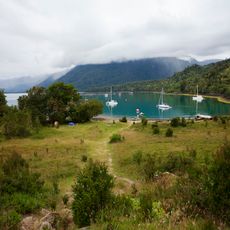
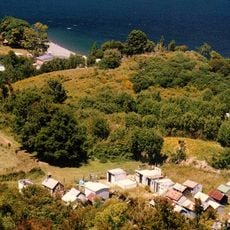
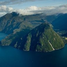
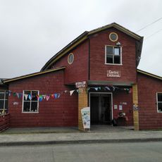
Chaitén is a small town in the southern Los Lagos region, situated on a bay surrounded by mountains. It consists of colorful houses, some restored buildings, and ruins buried under volcanic ash that shape its appearance and character.
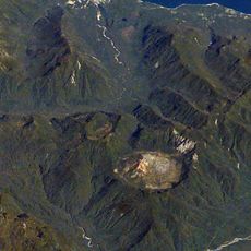
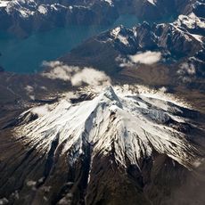
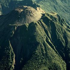
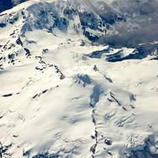
Chaitén was a small settlement based on fishing and farming for many years. In 2008, the Chaitén volcano erupted unexpectedly, covering the town with ash and mud and destroying many buildings in the process.
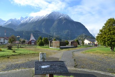
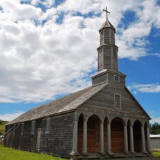
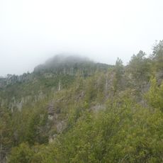
The name Chaitén comes from the Mapuche language meaning "place of fog". Visitors can see how the community rebuilt after the eruption, with restored buildings standing next to ruins that tell the story of resilience and adaptation to nature's forces.
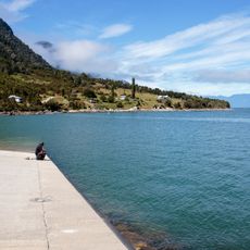
The climate in Chaitén is cool and rainy year-round, especially in coastal and fjord areas. Bring waterproof clothing and warm layers, and since the town is remote, buy supplies before arriving as shops are small and prices run higher than in larger cities.
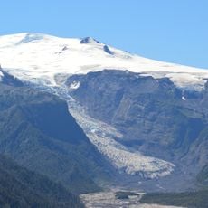
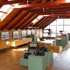
The town has a free outdoor museum showing photographs and information about the eruption and destruction. Visitors can see abandoned ruins directly and witness how nature buried buildings under mud and ash.
The community of curious travelers
AroundUs brings together thousands of curated places, local tips, and hidden gems, enriched daily by 60,000 contributors worldwide.