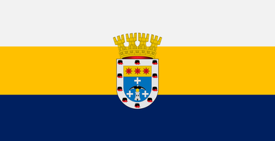
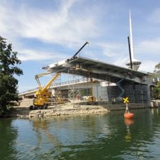
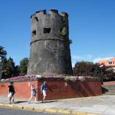
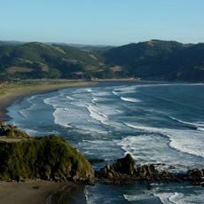
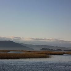
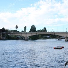
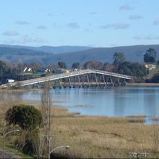
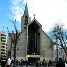
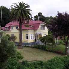
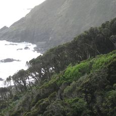
Mariquina, commune in Chile
Location: Valdivia Province
Inception: 1850
Capital city: San José de la Mariquina
Elevation above the sea: 6 m
Shares border with: Máfil, Valdivia
Website: http://munimariquina.cl
GPS coordinates: -39.51667,-72.96667
Latest update: March 3, 2025 18:27
Puente Caucau
40 km
Torreón Los Canelos
41.3 km
Mehuín
22.7 km
Santuario de la Naturaleza Río Cruces y Chorocamayo
27.3 km
Pedro de Valdivia Bridge
40.8 km
Jardín Botánico de la Universidad Austral de Chile
40.2 km
Feria Fluvial de Valdivia
40.8 km
Oncol Park
36 km
Coliseo Municipal Antonio Azurmendy Riveros
40.7 km
Estadio Parque Municipal
40.8 km
Torreón Picarte
40.5 km
Museo Histórico y Antropológico Maurice van de Maele
41 km
Río Cruces Bridge
42.9 km
Our Lady of the Rosary Cathedral, Valdivia
40.9 km
Casas y Parque Prochelle
41.5 km
Punta Curiñanco
43.9 km
Arboretum de la Universidad Austral de Chile
40.4 km
Calle General Lagos
42.5 km
Tralcán
53.4 km
Calle-Calle Bridge
40.4 km
Museo de Arte Contemporáneo
41 km
Museo de la Exploración Rudolph Amandus Philippi
41.1 km
Teatro Galia
17.9 km
Casa de la Memoria de los Derechos Humanos de Valdivia
41.2 km
Puente Collilelfu
40.6 km
Guacamayo Island
47.8 km
Plazuela Carlos Lorca Tobar
40.7 km
Escultura La Mano
40.8 kmReviews
Visited this place? Tap the stars to rate it and share your experience / photos with the community! Try now! You can cancel it anytime.
Discover hidden gems everywhere you go!
From secret cafés to breathtaking viewpoints, skip the crowded tourist spots and find places that match your style. Our app makes it easy with voice search, smart filtering, route optimization, and insider tips from travelers worldwide. Download now for the complete mobile experience.
A unique approach to discovering new places❞
— Le Figaro
All the places worth exploring❞
— France Info
A tailor-made excursion in just a few clicks❞
— 20 Minutes