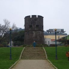
Valdivia Province, Administrative province in Los Ríos Region, Chile
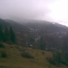
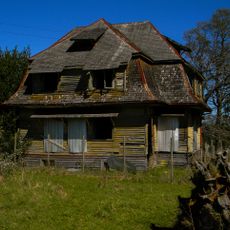
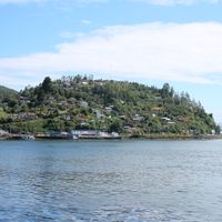
Valdivia Province is an administrative province in the Los Ríos Region in southern Chile, comprising eight municipalities spread across a large territory. The landscape is shaped by rivers, mountains, and extensive native forests that reach toward Patagonia.
The province was established in 2007 during a major administrative reorganization that created the Los Ríos Region as it exists today. The city of Valdivia became its capital and remains a key center for the area.
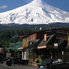
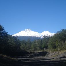
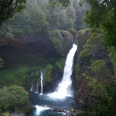
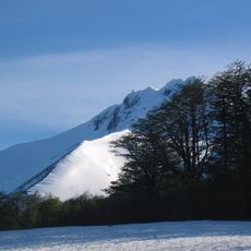
The Valdivian forests shape the landscape here with their dense vegetation and native trees found nowhere else in Chile. This forest type has become part of how people see and experience their surroundings.
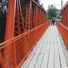
The province is connected by a network of roads linking its municipalities, with the Pan-American Highway running through as the main route. Visitors can navigate the region most easily using these primary roads and stopping at different towns along the way.
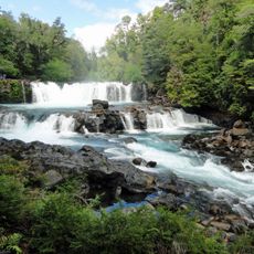
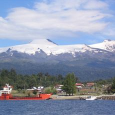
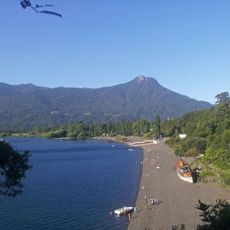
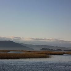
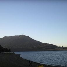
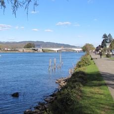
The territory is traversed by two major river systems that eventually merge before flowing to the ocean as a single river. This river landscape has shaped settlement and land use patterns for generations.
Location: Los Ríos Region
Inception: October 2, 2007
Capital city: Valdivia
Elevation above the sea: 170 m
Shares border with: El Ranco Province, Cautín Province, Huiliches Department, Lácar Department
Website: http://gobernacionvaldivia.gov.cl
GPS coordinates: -39.75000,-72.50000
Latest update: December 7, 2025 19:26
Villarrica Volcano
60.4 km
Huilo-Huilo Biological Reserve
48.1 km
Mocho-Choshuenco
43.3 km
Puerto Fuy
53.7 km
Liquiñe
55.2 km
Termas geométricas
60.3 km
Choshuenco
37 km
Santuario de la Naturaleza Río Cruces y Chorocamayo
59.8 km
Coliseo Municipal Antonio Azurmendy Riveros
63.1 km
Estadio Parque Municipal
63.2 km
Torreón Picarte
63.1 km
Pichi-Ropulli
56.1 km
Our Lady of the Rosary Cathedral, Valdivia
64.3 km
Sitio de Villarrica
57.5 km
Huilo-Huilo Falls
48.1 km
Estadio Municipal de Villarrica
56.6 km
Cathedral of the Sacred Heart, Villarrica
57.6 km
Tralcán
6.2 km
Calle-Calle Bridge
62.8 km
Mocho-Choshuenco National Reserve
42.6 km
Cuevas volcánicas Villarrica
63.6 km
Volcanic Caves Park
63.6 km
Casa del Fundo El Llolly
36.9 km
Teatro Galia
40.6 km
Puente Collilelfu
29.7 km
Plazuela Carlos Lorca Tobar
61.4 km
Paseo de la Memoria Herida de Villarrica
57.9 km
Escultura La Mano
61 kmVisited this place? Tap the stars to rate it and share your experience / photos with the community! Try now! You can cancel it anytime.
Discover hidden gems everywhere you go!
From secret cafés to breathtaking viewpoints, skip the crowded tourist spots and find places that match your style. Our app makes it easy with voice search, smart filtering, route optimization, and insider tips from travelers worldwide. Download now for the complete mobile experience.
A unique approach to discovering new places❞
— Le Figaro
All the places worth exploring❞
— France Info
A tailor-made excursion in just a few clicks❞
— 20 Minutes