Los Ríos Region, Administrative region in southern Chile
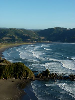
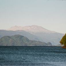
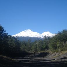
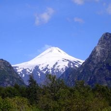
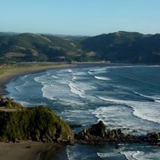
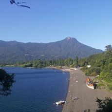
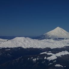
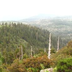
Los Ríos is an administrative territory in southern Chile that stretches between the Pacific Ocean and the Andes mountain range, encompassing dense forests, river courses, and mountainous terrain. This territory divides into two provinces, Valdivia and El Ranco, with Valdivia functioning as the capital and largest urban center.
The Chilean government established Los Ríos in October 2007 as an independent territory, separating it from the larger Los Lagos area to create a more localized administrative structure. The decision followed years of pressure from residents seeking more direct self-governance.
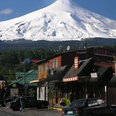
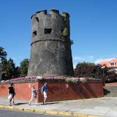
Valdivia shows buildings with timber facades and gabled roofs that recall Central European construction from the 19th-century German settlement period. Mapuche communities preserve traditions in rural areas, where textile crafts and language remain visible in daily routines.
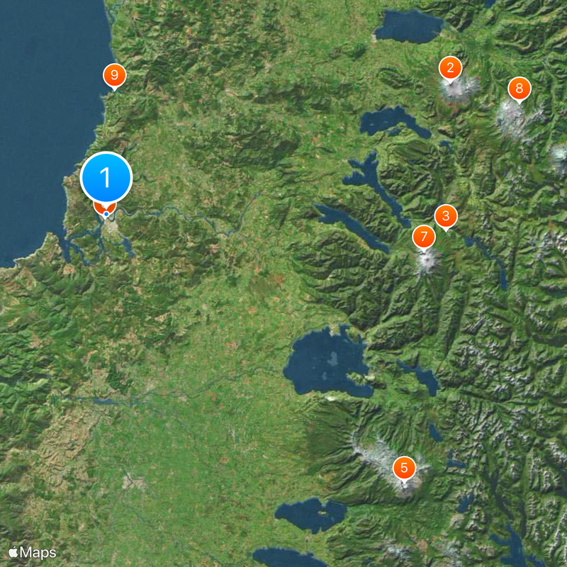
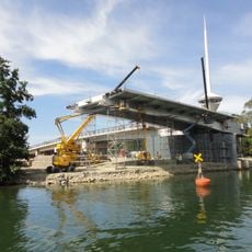
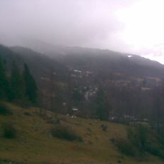
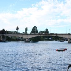
The capital Valdivia serves as the central starting point for travel within this territory, offering bus connections to smaller towns and access to national parks. Roads pass through forested terrain and cross several rivers, with weather conditions sometimes affecting travel times.
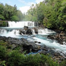
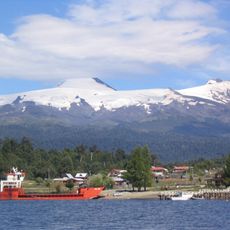
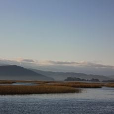
A network of waterways, including the Calle-Calle and Cruces rivers, connects numerous settlements and allows agricultural produce to travel by water. Some remote communities remain easier to reach by boat than by road during the rainy season.
The community of curious travelers
AroundUs brings together thousands of curated places, local tips, and hidden gems, enriched daily by 60,000 contributors worldwide.