Curarrehue, Mountain town in Araucanía Region, Chile
Curarrehue is a commune in the Araucanía Region of southern Chile, situated across a landscape of mountains and valleys. The town rises to an elevation of around 400 meters and features forests and river systems that shape its terrain.
The settlement formed in the 1870s when Mapuche communities moved through the Mamuil Malal Pass and established themselves in the valley following military campaigns. This movement marked the founding of a new community in a previously sparsely settled area.
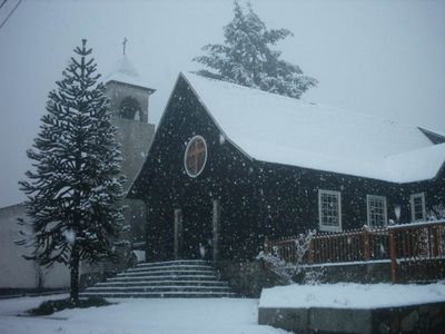
The name comes from Mapudungun, the language of the Mapuche people, whose traditions are visible through local celebrations and community gatherings throughout the year. These customs remain an active part of daily life in the region.
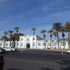
The municipal office on Avenida Estadio provides services to residents and visitors during weekday business hours. The best time to visit is from December through March when weather conditions are drier and warmer.
The area sits on a geological fault line and receives over 2000 millimeters of rainfall annually, creating a very wet climate. This heavy rain nourishes dense forests and supports the lush green landscape visitors see.
Location: Cautín Province
Location: Araucanía Region
Inception: 1981
Elevation above the sea: 406 m
Website: https://curarrehue.cl/on
GPS coordinates: -19.01667,-71.58333
Latest update: December 7, 2025 20:22
Morro de Arica
145.6 km
Estadio Carlos Dittborn
147.6 km
St. Mark's Cathedral
145.9 km
Tutelares
146.2 km
Chiribaya culture
128.8 km
Península del Alacrán
144.9 km
Casa Bolognesi
145.9 km
Playa Chinchorro
148.2 km
Arica House of Culture
146 km
Museo Histórico y de Armas del Morro de Arica
145.5 km
Playa La Lisera
144.8 km
Iglesia de San Jerónimo de Ilo
154.6 km
Casino de Juegos de Arica
146.7 km
House Yanulaque
146.3 km
Cárcel Pública de Pisagua
157.8 km
Monumento al soldado desconocido, Arica
145.4 km
Playa Las Machas
149.1 km
Municipal Theatre of Pisagua
157.8 km
Torre Reloj de Pisagua
157.8 km
Phare Concordia
148.9 km
Phare de la péninsule du Scorpion
144.7 km
Parroquia de San Pedro de Pisagua
157.9 km
Cristo de la Concordia, Arica
145.6 km
Settlement and Artificial Mummification of the Chinchorro Culture in the Arica and Parinacota Region
145.7 km
Fuerte Ciudadela
146.8 km
Fosa común del Cementerio de Pisagua
157.8 km
Humedal de la desembocadura del Río Lluta
148.8 km
Cuartel n.º 1 del Regimiento Reforzado n.º 4 “Rancagua” de Arica
147.2 kmVisited this place? Tap the stars to rate it and share your experience / photos with the community! Try now! You can cancel it anytime.
Discover hidden gems everywhere you go!
From secret cafés to breathtaking viewpoints, skip the crowded tourist spots and find places that match your style. Our app makes it easy with voice search, smart filtering, route optimization, and insider tips from travelers worldwide. Download now for the complete mobile experience.
A unique approach to discovering new places❞
— Le Figaro
All the places worth exploring❞
— France Info
A tailor-made excursion in just a few clicks❞
— 20 Minutes